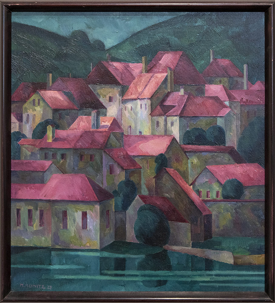
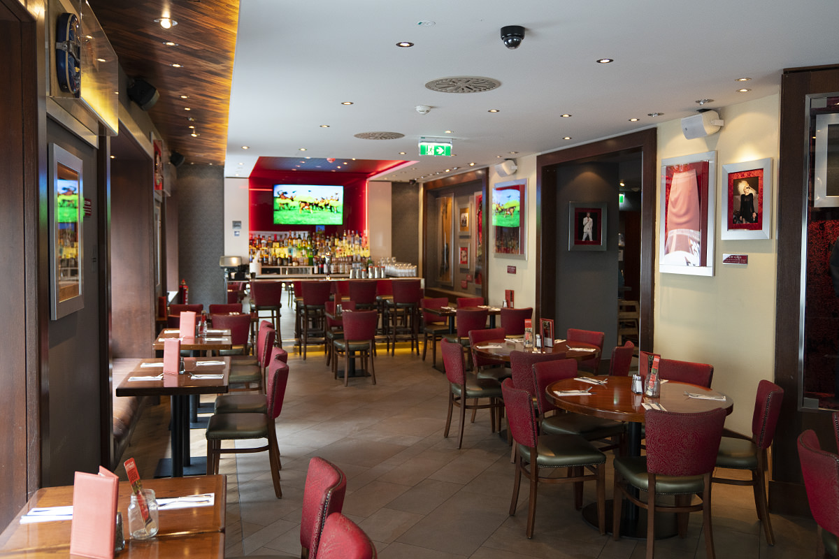
 And so... I spent the night with Coal Miner's Granddaughter and The Tennessee Wraith Chasers in the old Missouri State Penitentiary! For those who don't watch "ghost hunt" television, the Wraith Chasers are a paranormal investigation group who have appeared in such shows as Ghost Asylum and Haunted Towns. Turns out they're also an incredibly nice group of guys.
Heather and I purchased "VIP Passes" which allowed us early entry into the event. With the sun going down, the prison takes on an entirely different personality...
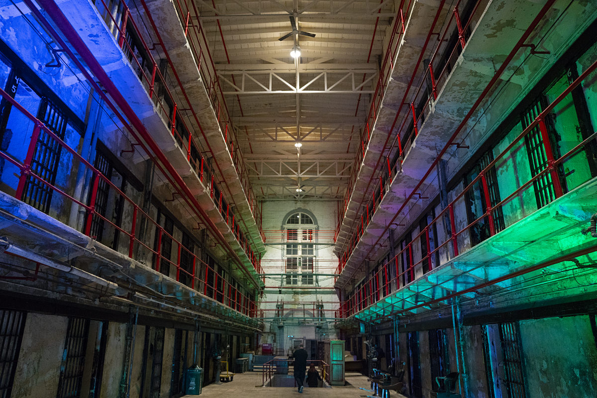
The team behind the event, "Ghost Hunt Weekends," lit up our "home base" in one of the buildings with atmosphere lighting, which was also very different from what we saw on our tour earlier...
Eventually the Wraith Chasers themselves kicked things off with a Q&A session which was pretty entertaining...
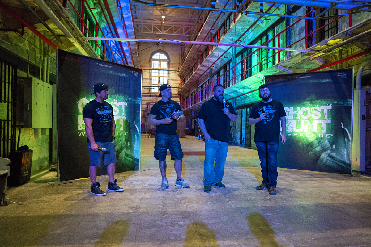
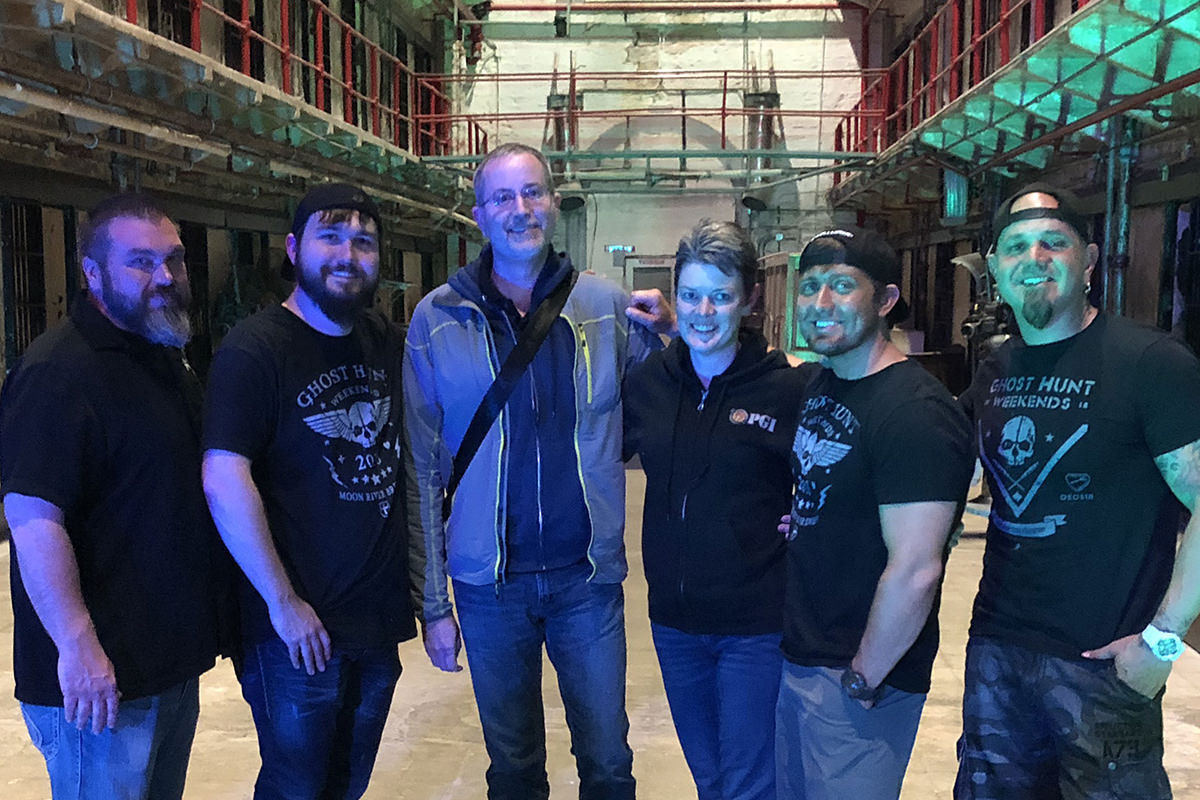
Everybody had a chance to get their photo taken with Doogie, Brannon, Chris, and Mike, which was pretty nice of them...
Interesting to note that Heather and I have like TEN LAYERS of clothing on because it was freezing in there... but the Wraith Chasers are all in short-sleeves.
Our group started off with the gas chamber, then rotated through four other sites...
Not a lot of paranormal activity last night, but still a lot of fun!
And now... sleep!
 And so here I am in Jefferson City with Coal Miner's Granddaughter!
Our event doesn't start until tonight, so we decided to head downtown to soak in all the big fun that Jeff-City has to offer.
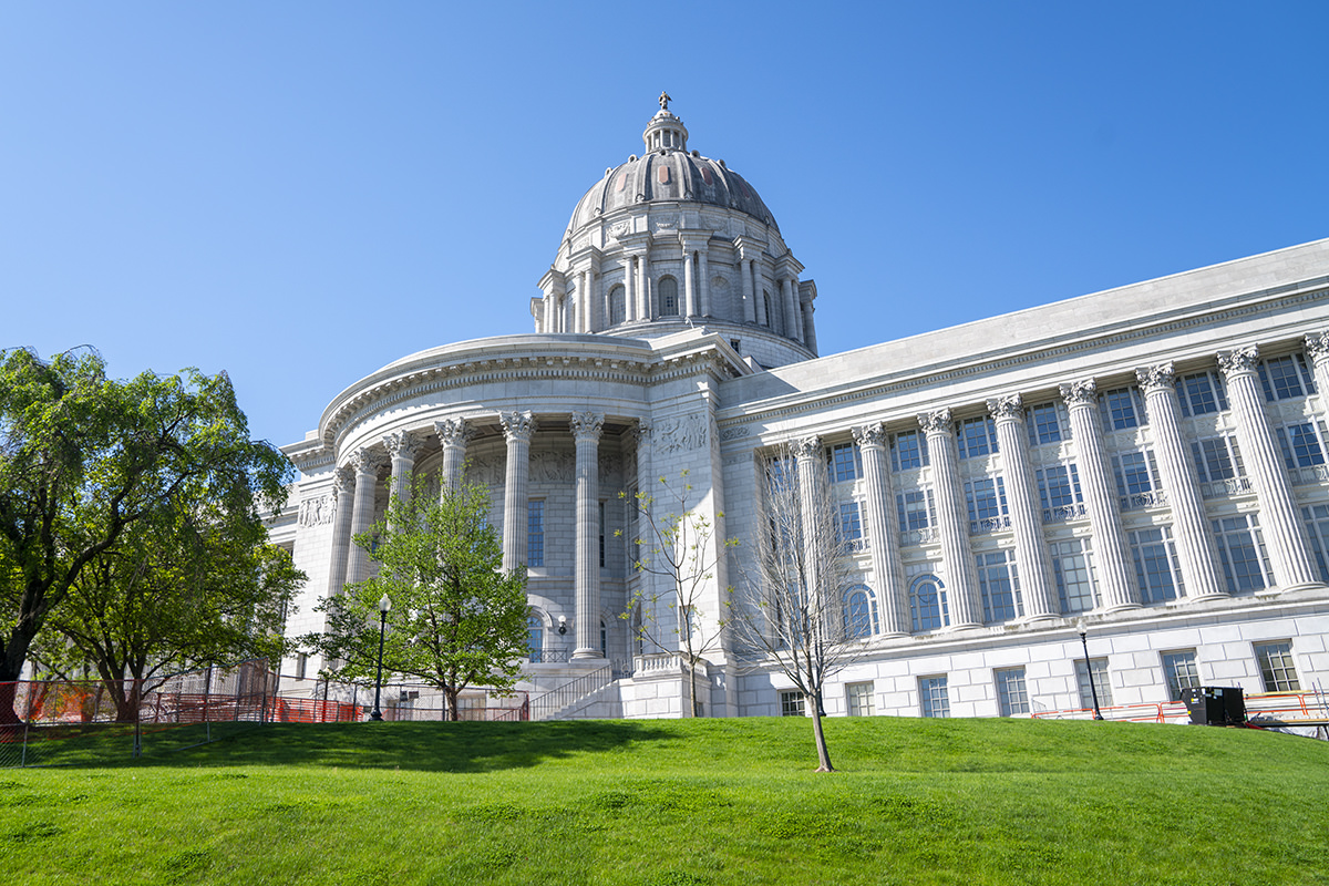
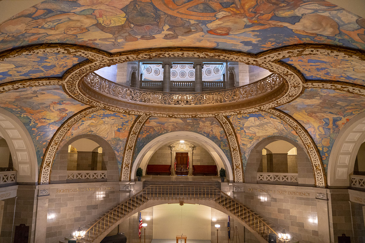
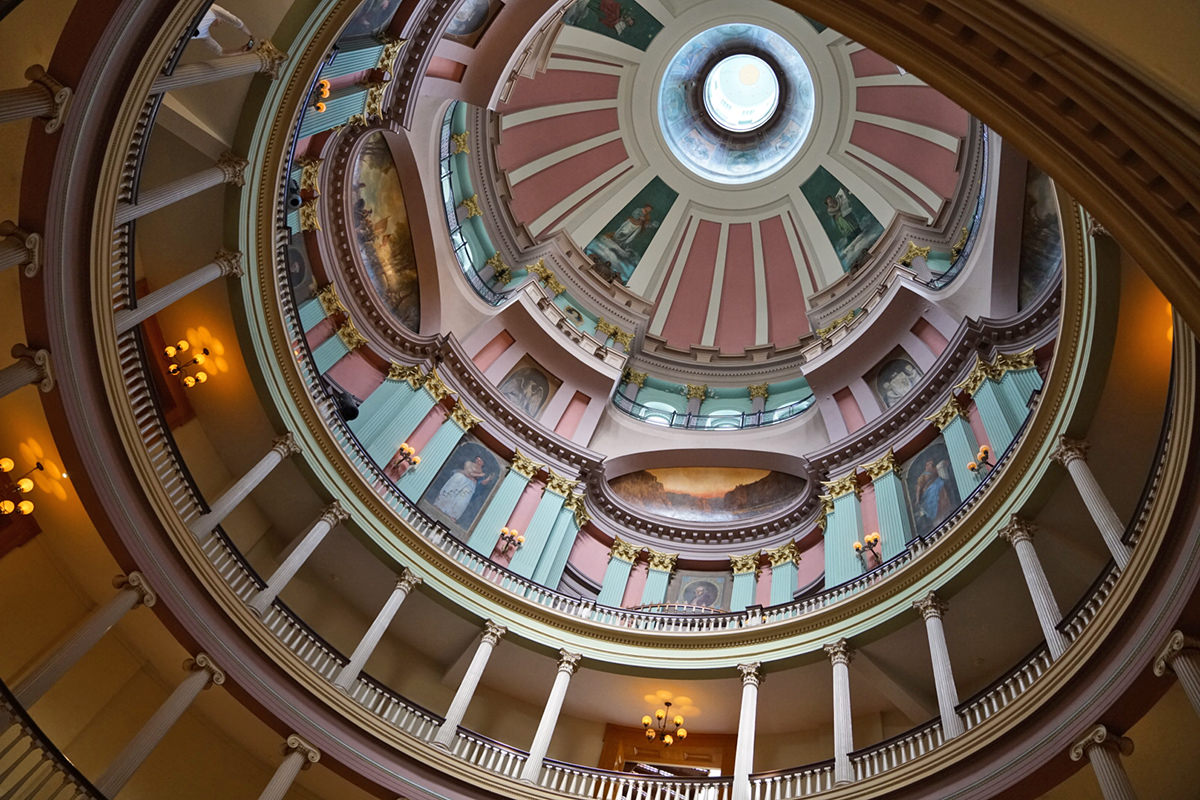
Our first stop was the Missouri State Capitol Building. From the outside it looks pretty typical for a capitol building...
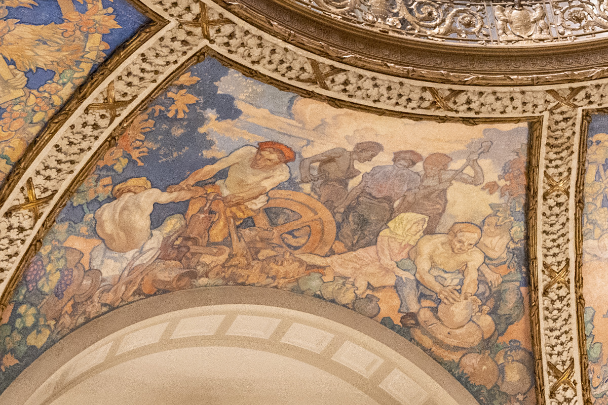
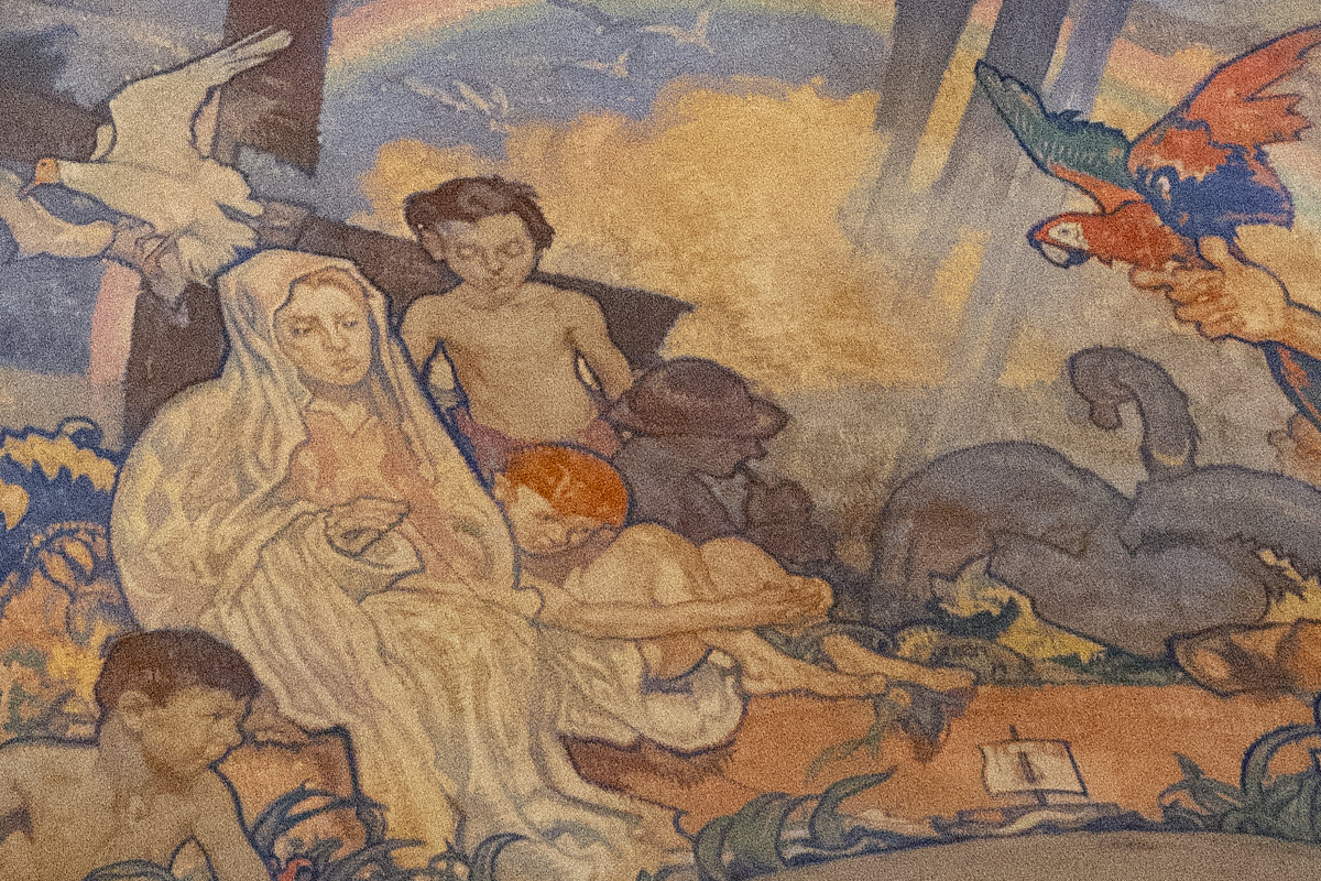
But on the inside? Absolutely stunning. Gorgeous art nouveau paintings depicting the life and history of Missouri cover the inside dome...
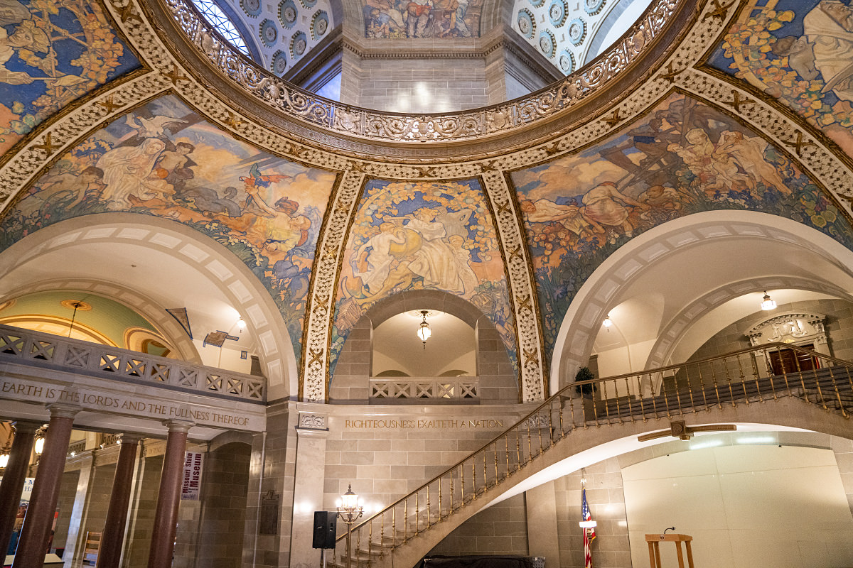
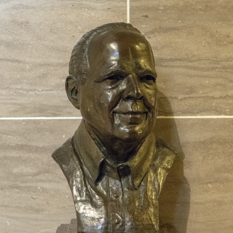
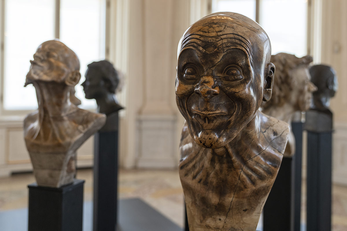
Inside this gorgeous building are busts of "famous Missourians" scattered around. Or, as in the case of Rush "Total Piece of Shit" Limbaugh, infamous...
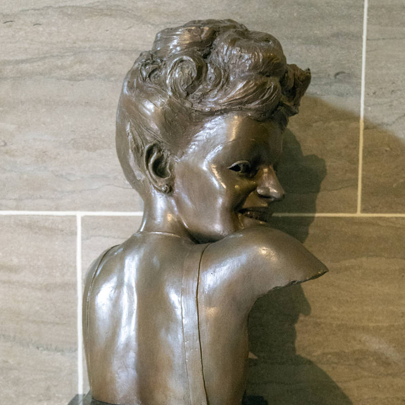
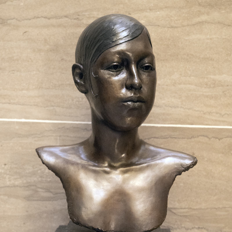
There are also awesome people like Betty Grable (whose bust is creepy as hell) and Josephine Baker as well...
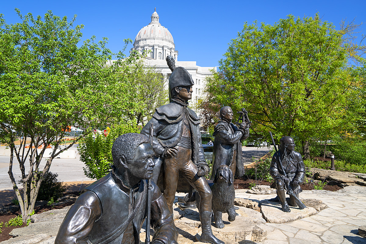
To the South of the Capitol Building is a monument for the Lewis and Clark trailhead. Since I've seen the end of the trail (about a half hour south of Astoria, Oregon), I couldn't pass up the opportunity to see the start...
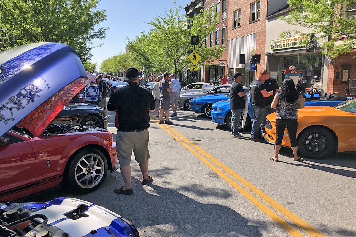
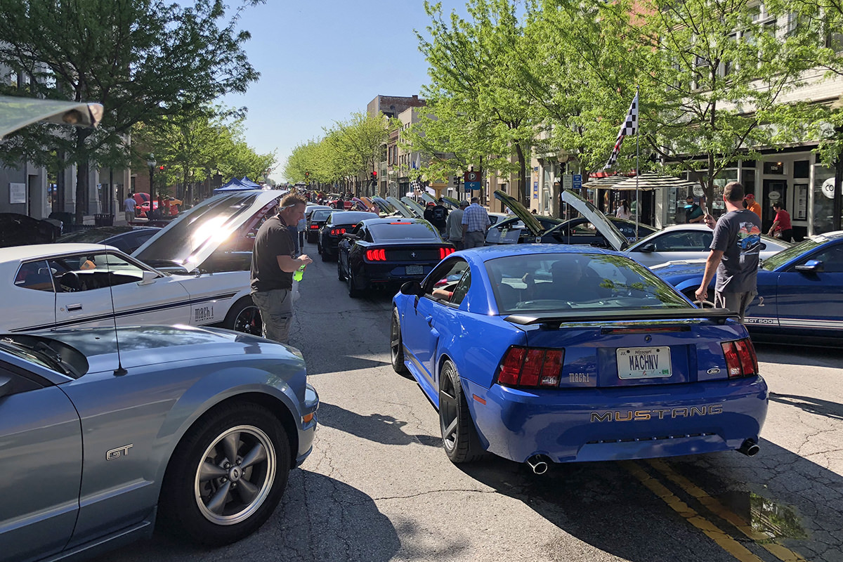
Unbeknownst to us, downtown Jefferson City had been closed off for Shelbyfest... the celebration of all things related to the Shelby Mustang...
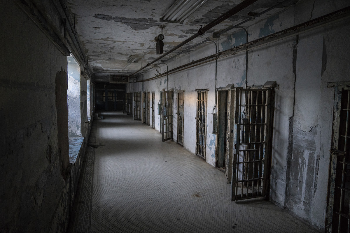
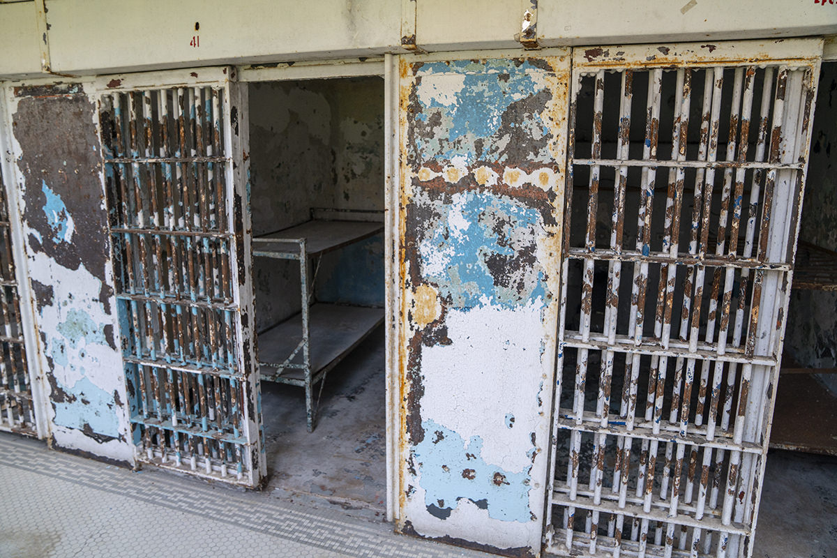
The "Ghost Hunt Weekend" event is at the old Missouri State Penitentiary. We decided to go early so we could take a tour and know the history behind everything...
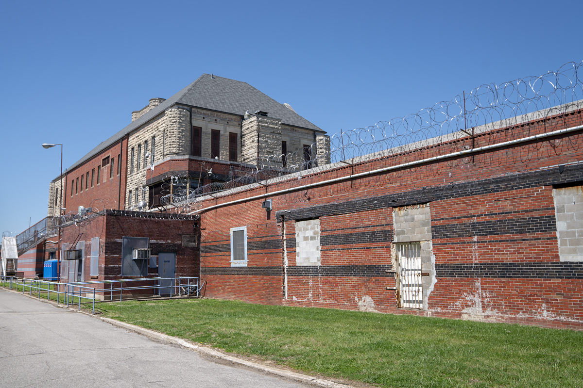
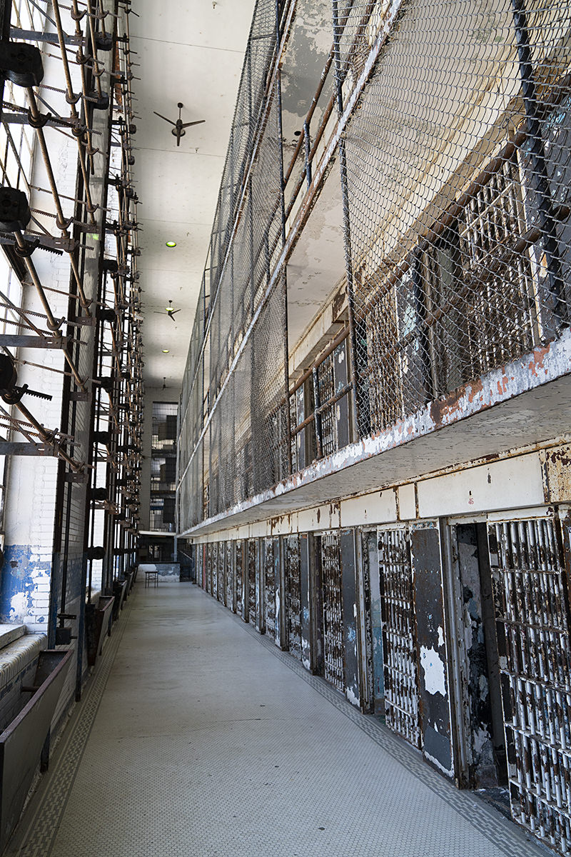
The grounds are massive. The buildings are massive. Everything is massive. This is just one of the buildings...
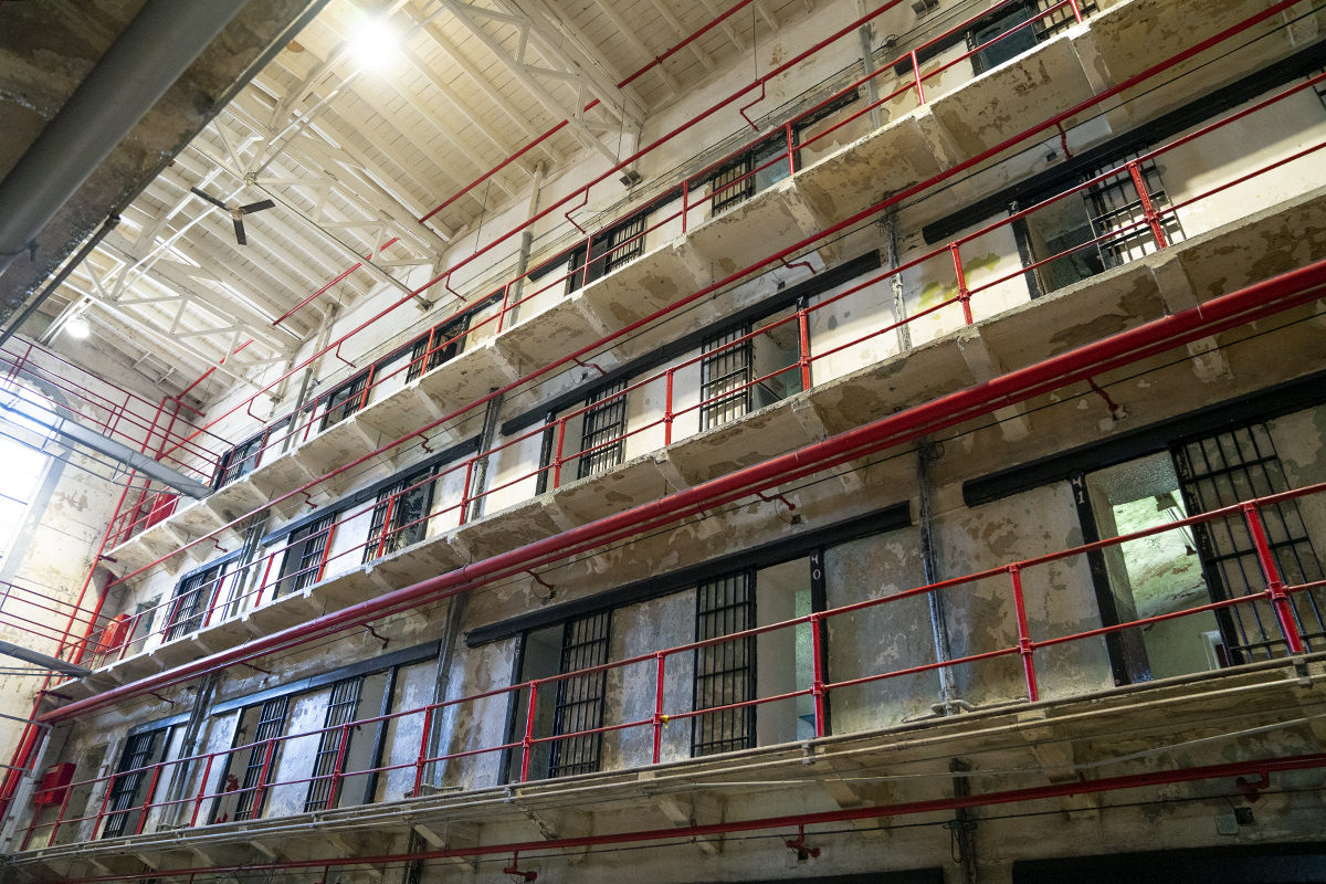
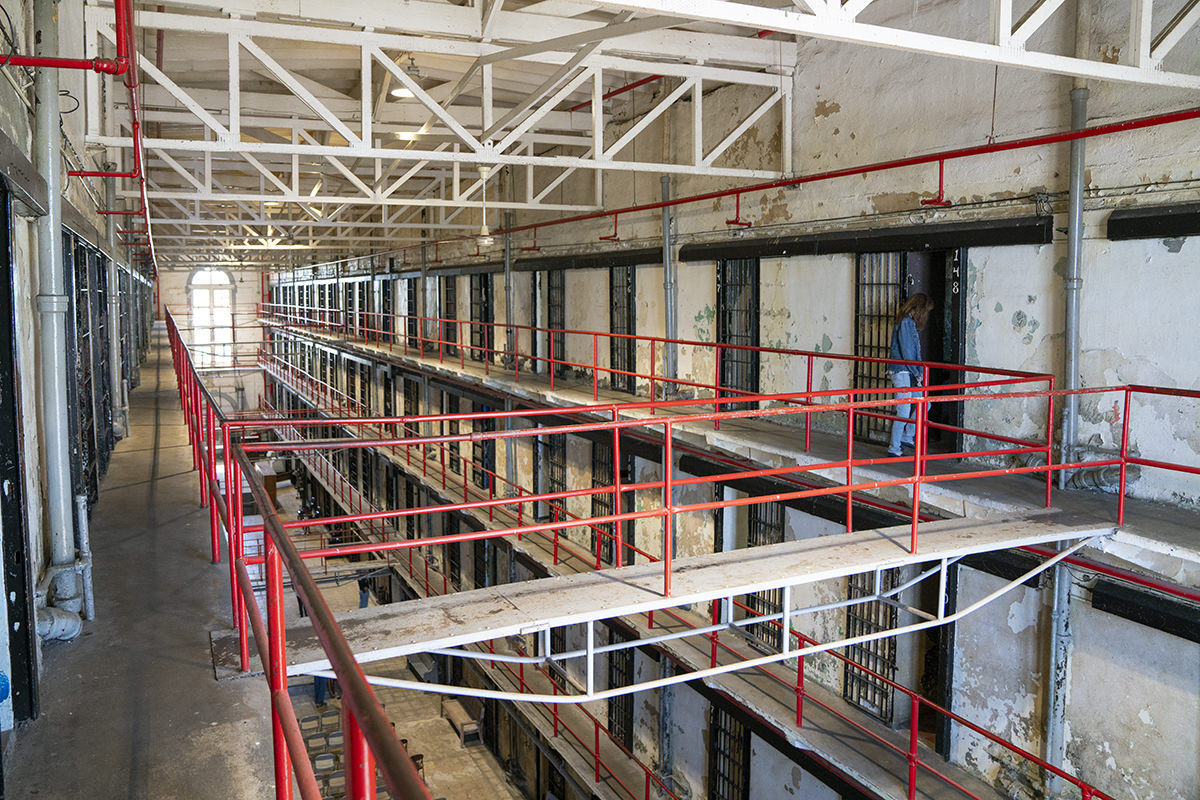
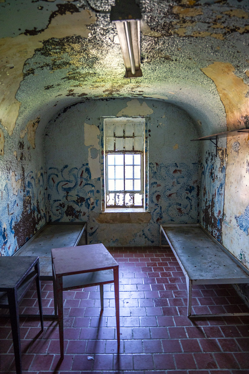
What's not massive? The cells. They're tiny. And, depending on the era, there were times that they held more inmates than you'd think were possible... four... even six per cell...
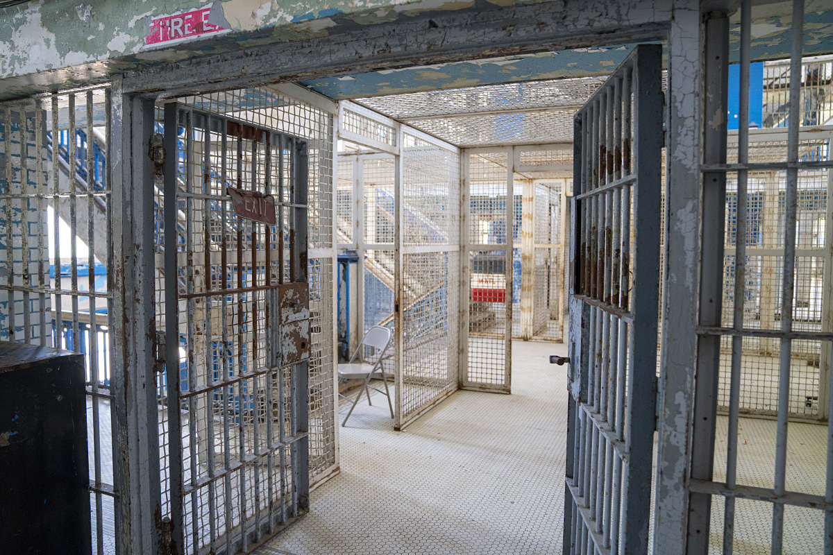
There are several buildings. We saw just two of them. The newer one seemed much more like what you'd think a prison looks like...
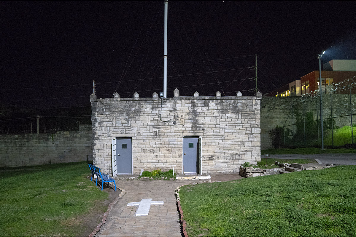
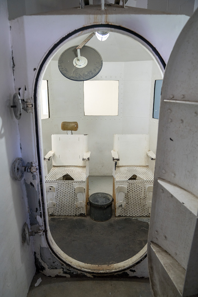
The last stop on the tour was the gas chamber. A place where 40 convicted criminals met their end...

Our tour was a particularly good one because our guide was a former prison guard. Even better? One of the first women guards was taking the tour with us. Even better? Two former inmates were also on our tour... one of whom was wrongfully convicted of a life sentence and served 23 years before he was released.
There are some happy residents of the prison complex... groundhogs! They're everywhere!

And that was the end of our day. The real adventure happens tonight...
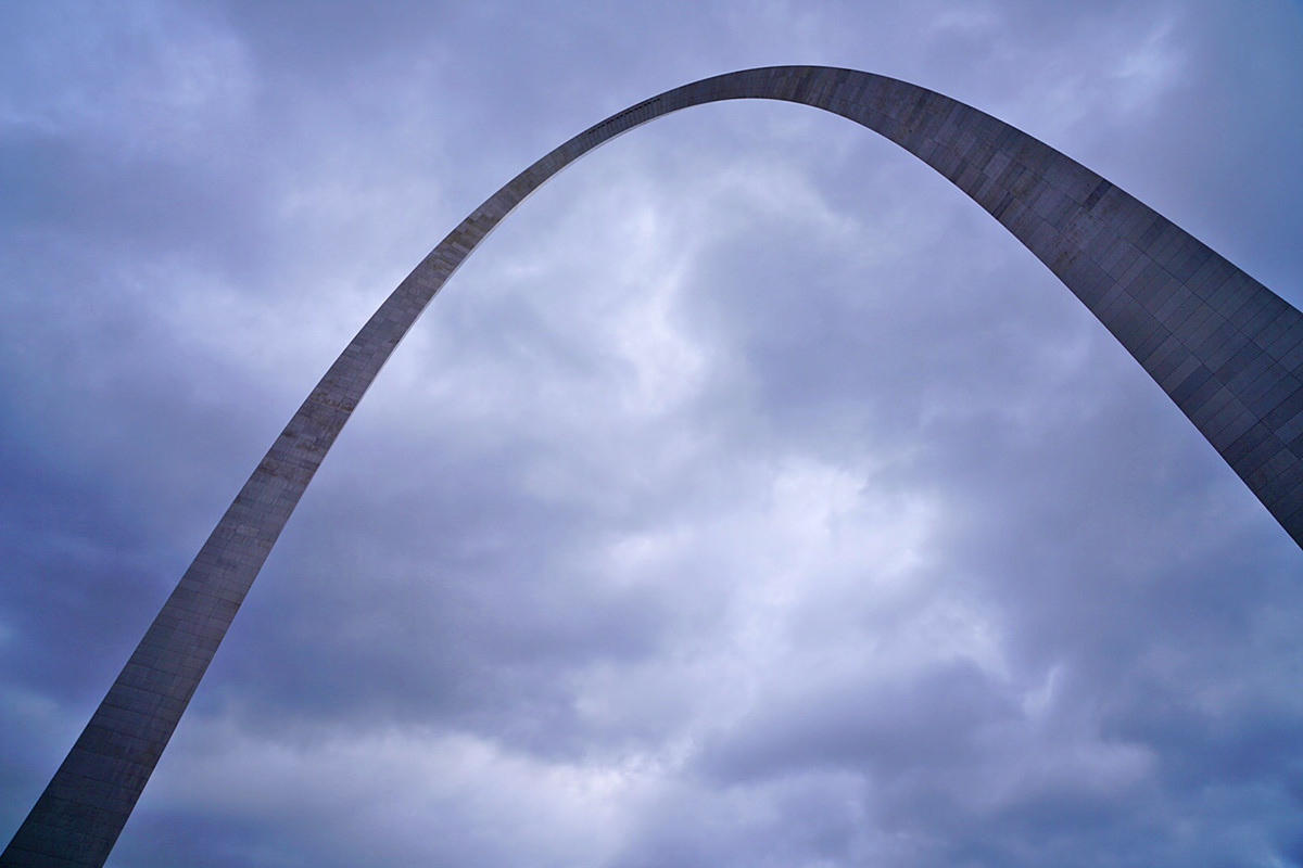
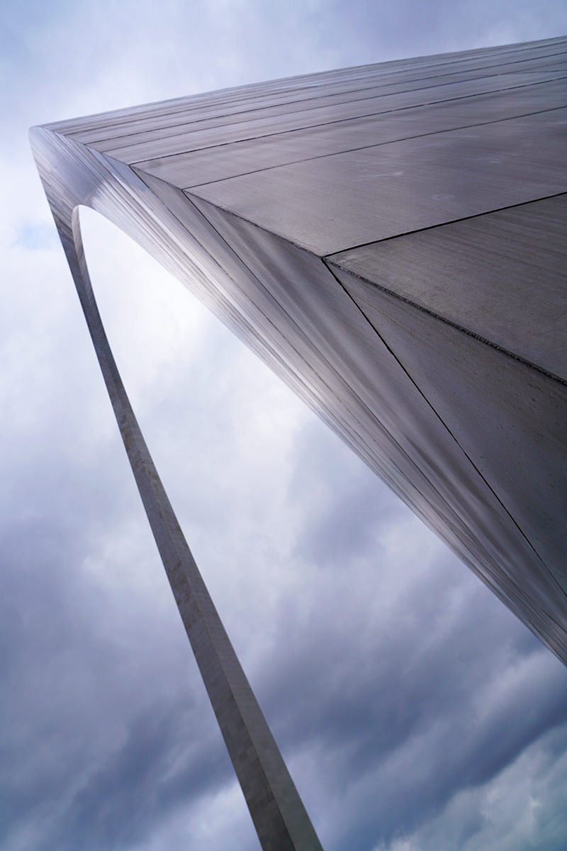
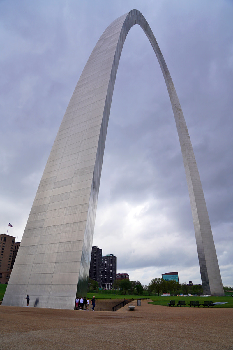
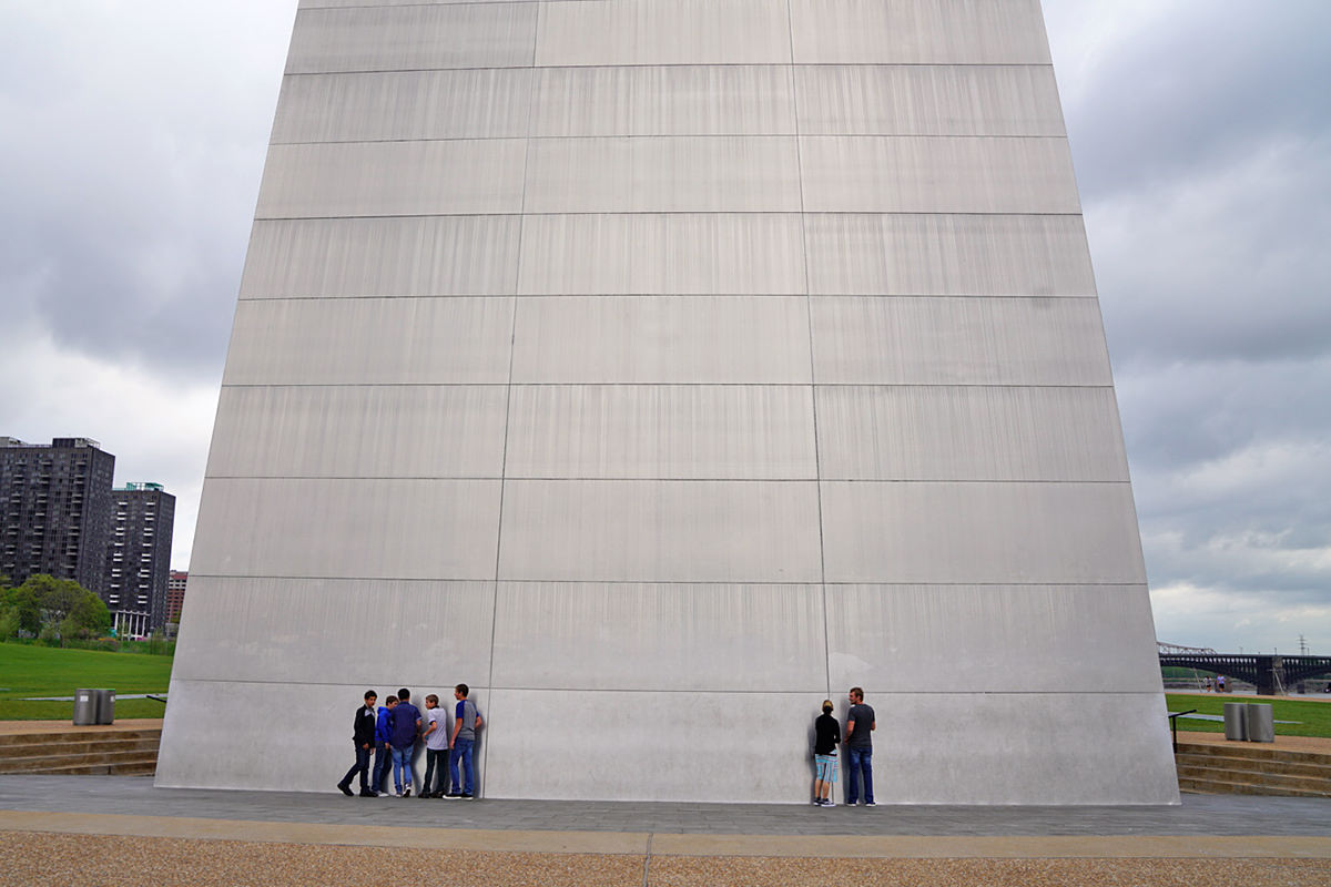
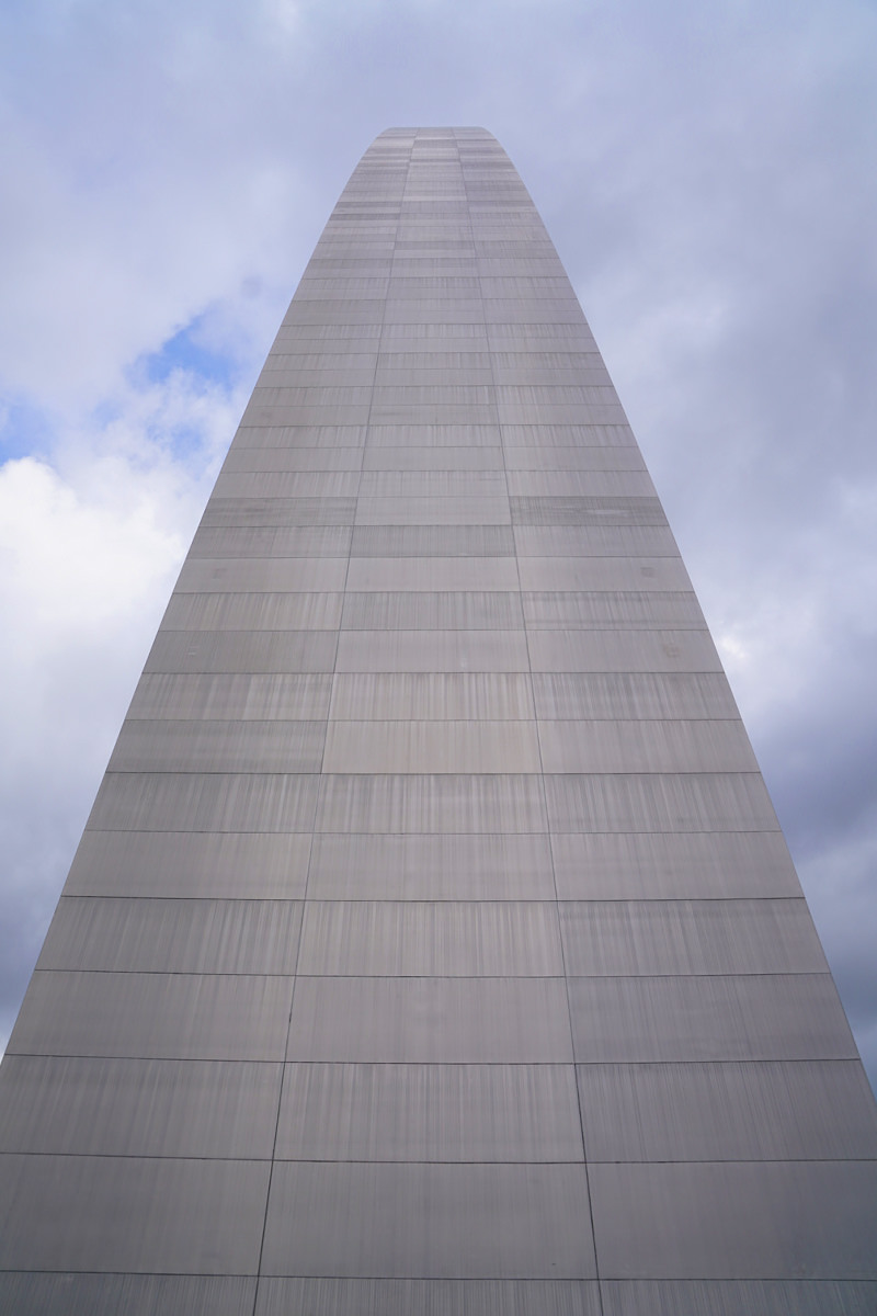
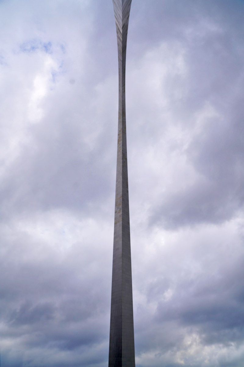
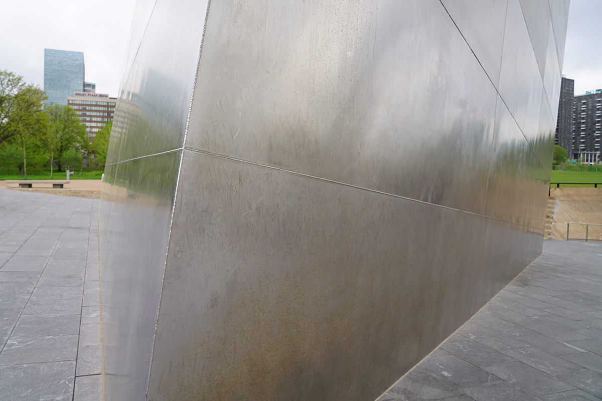
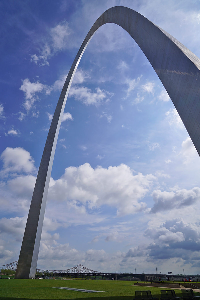
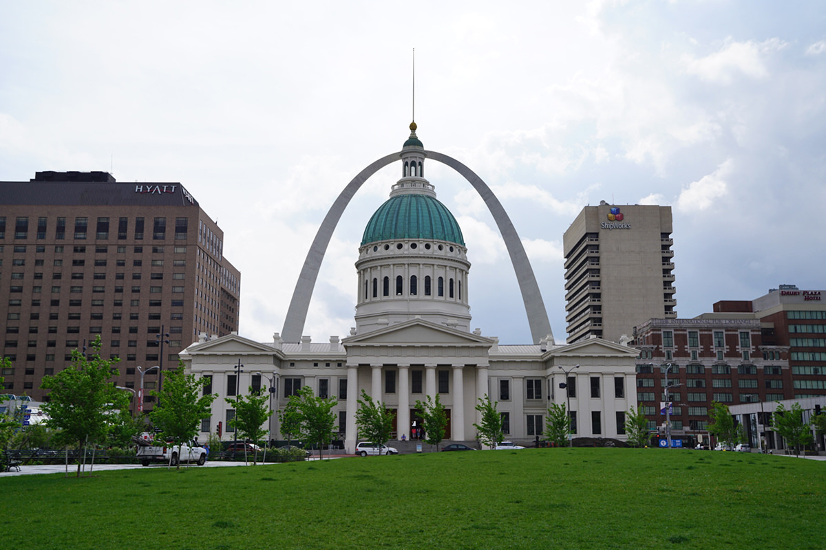
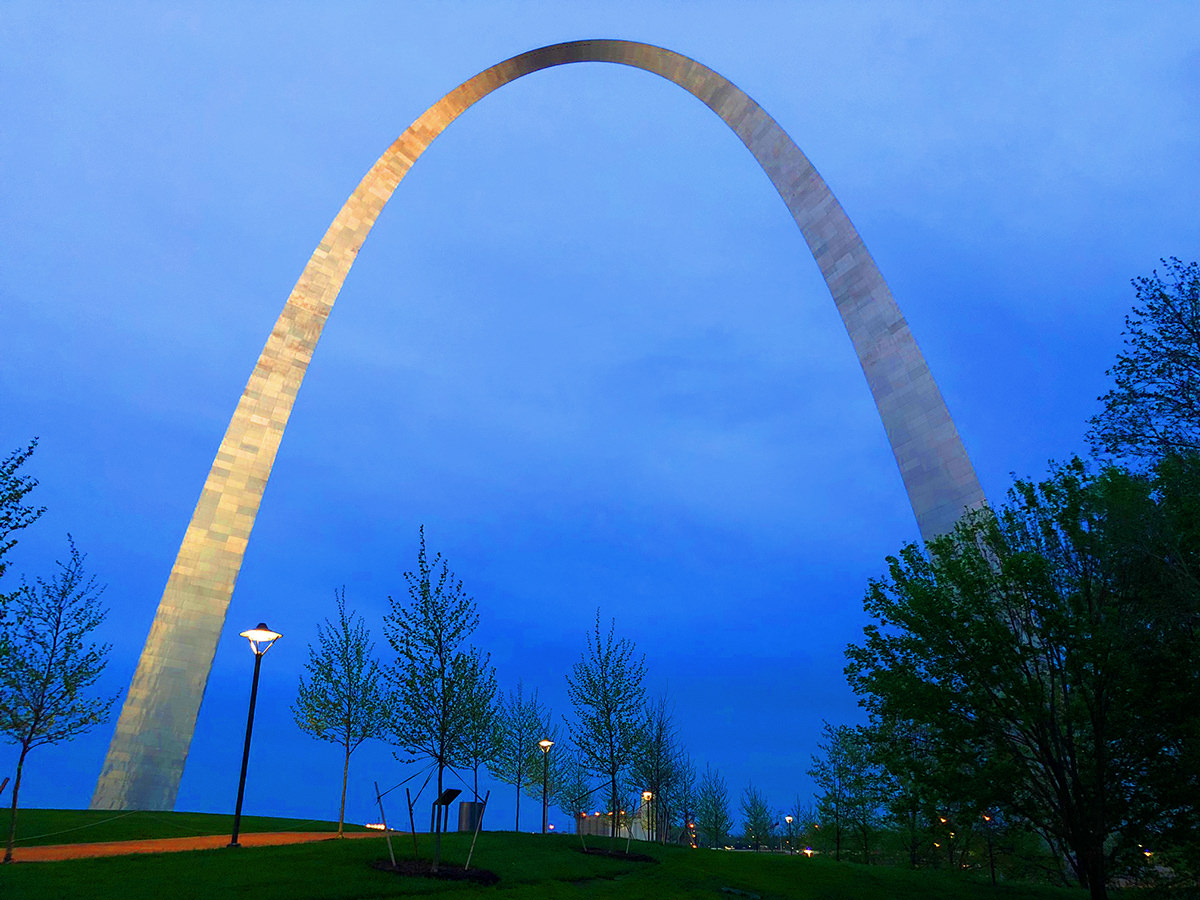
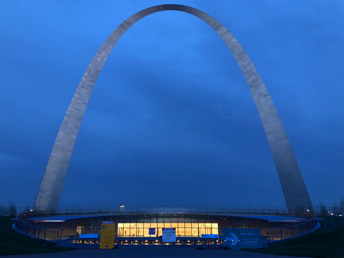
 The Gateway Arch in St. Louis is a stunning piece of architecture. Not just because of what you see on the outside (though the stainless steel exterior is beautiful) but also because of the incredible structural design on the inside. And underneath it (the foundation extends 60 feet beneath the ground). It's massive and impressive on many levels, and if you're ever in the area I highly recommend paying a visit.
It would be hard to me to top the beautiful blue skies from my previous visit, but I decided to go anyway because I just can't help myself. I could just look at the thing all day long...
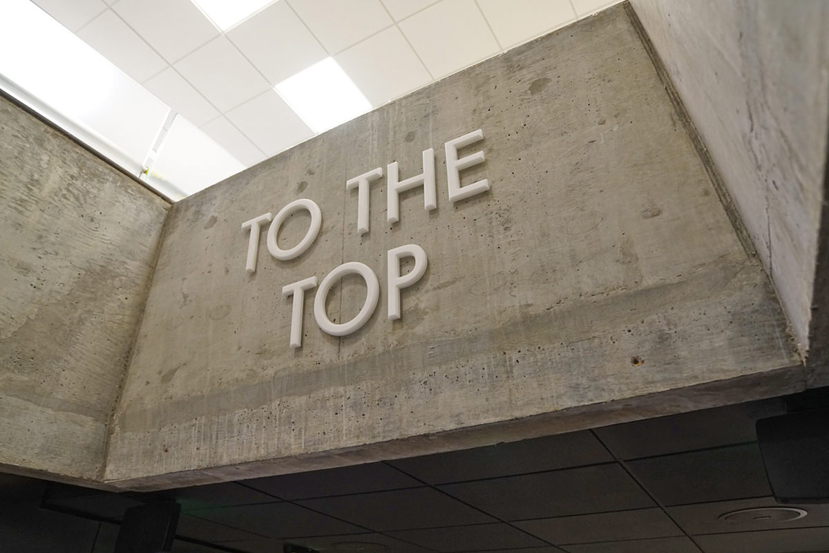
My favorite part of visiting The Arch is the tram/elevator system that takes people to the top...
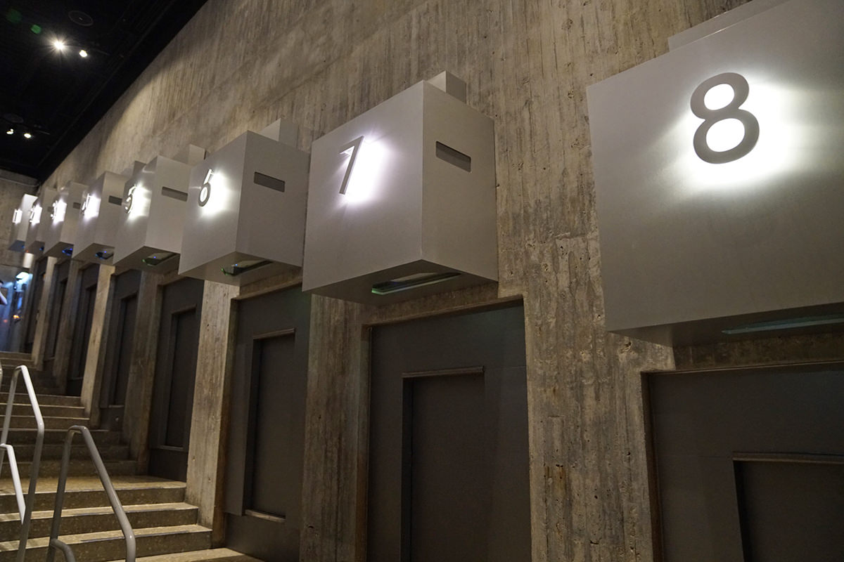
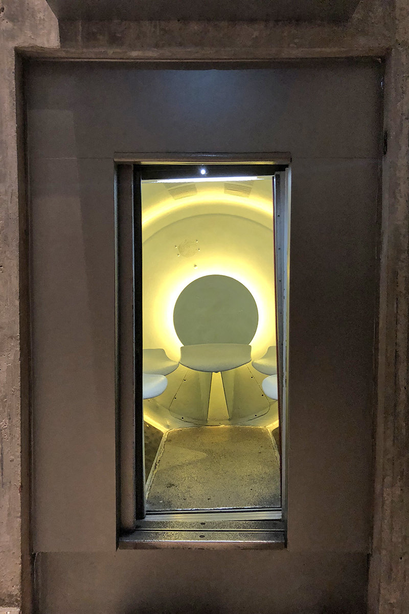
The cars are pretty tiny, which means you get to get real close to the people riding up with you...
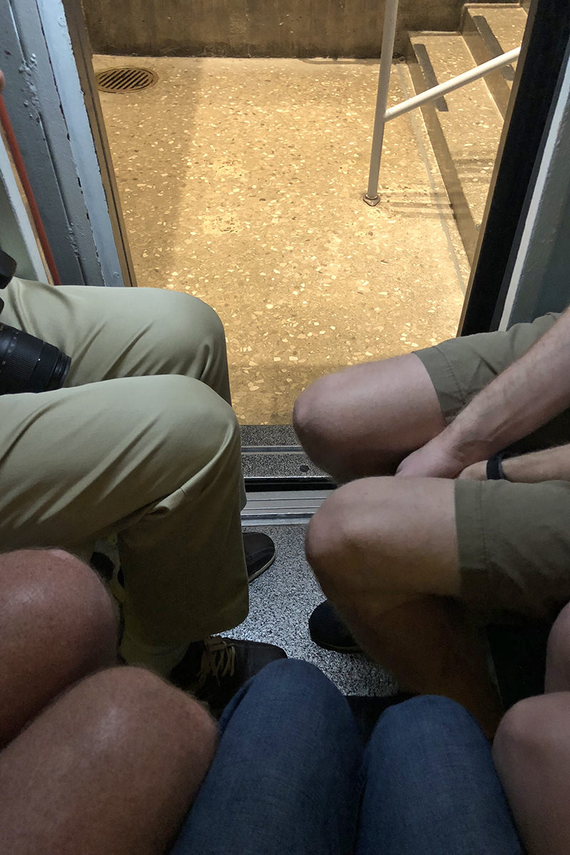
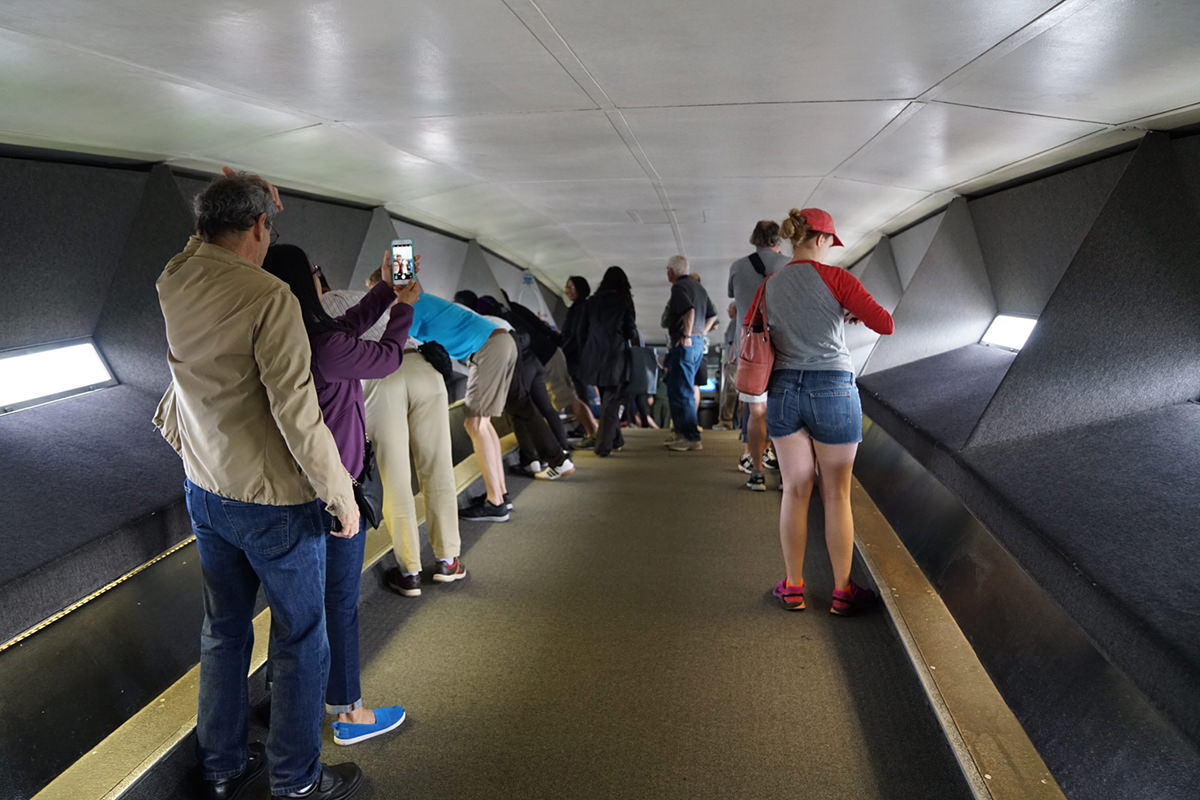
But it's all worth it once you get to the top...
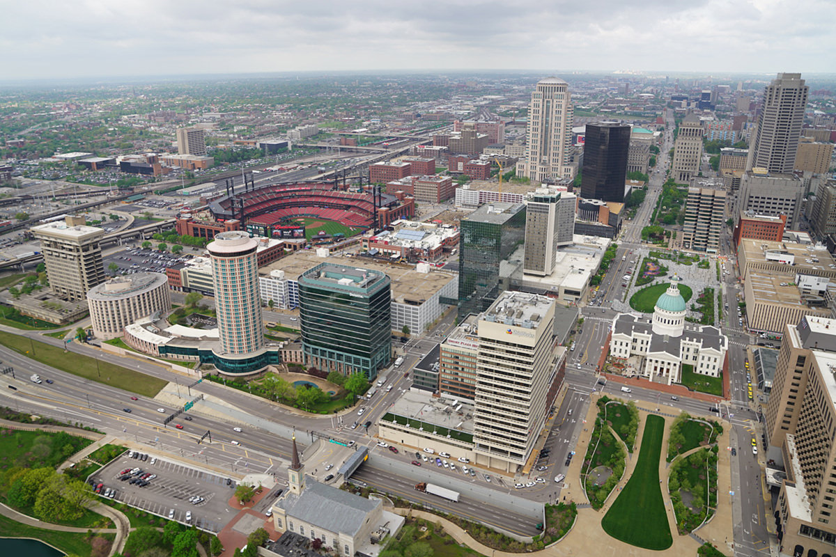
By the time I made it back down again the weather started clearing up (of course)...
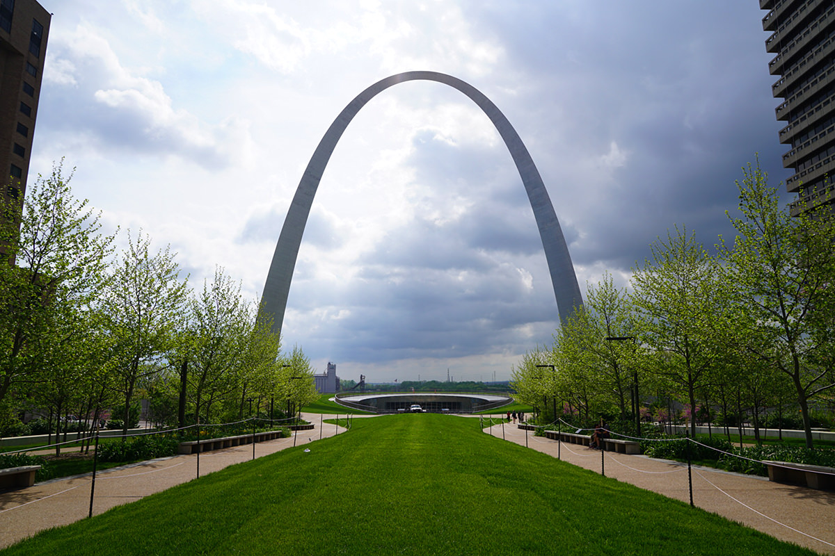
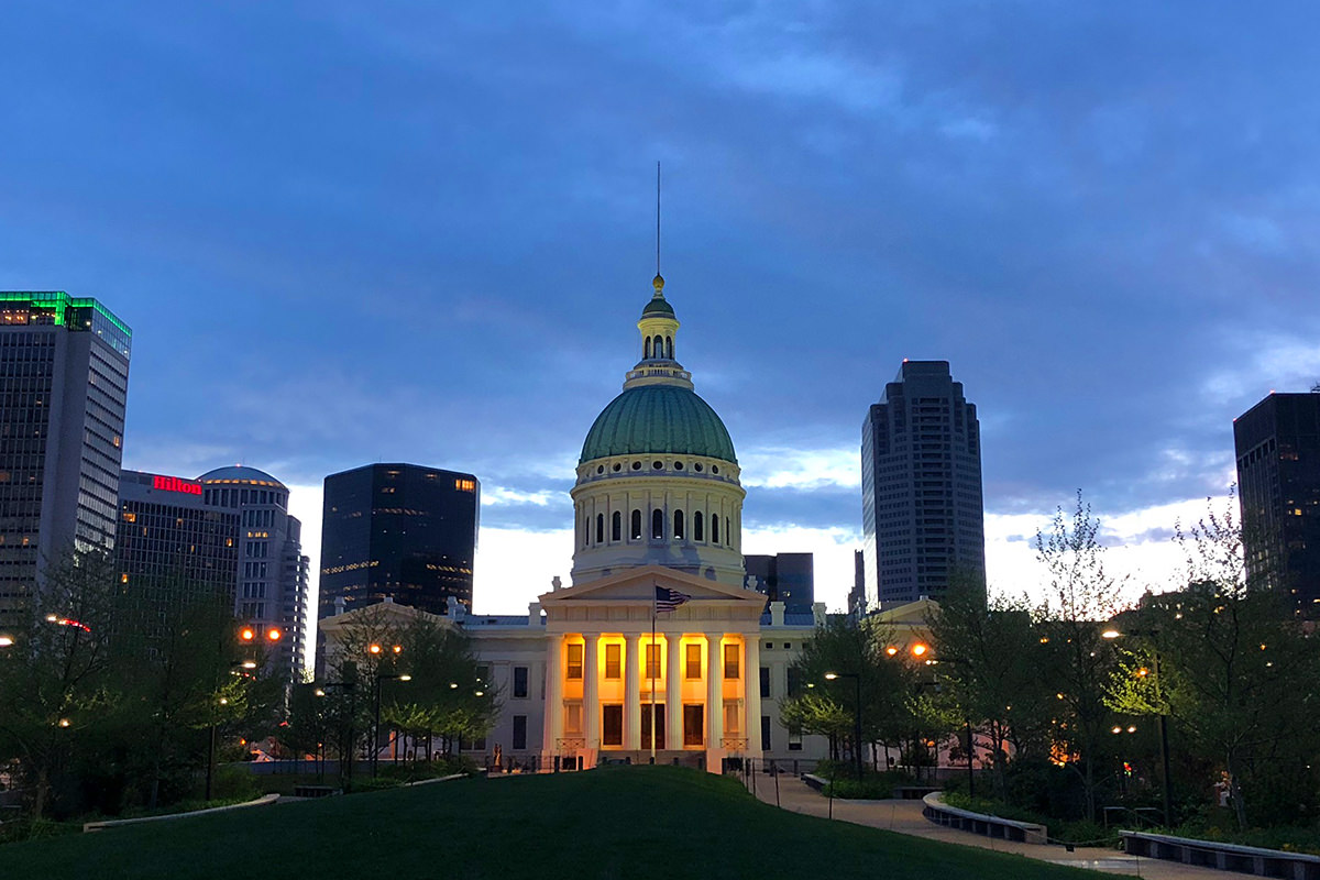
The Old Courthouse across the street is too pretty to pass up, so I dropped in for a quick visit...
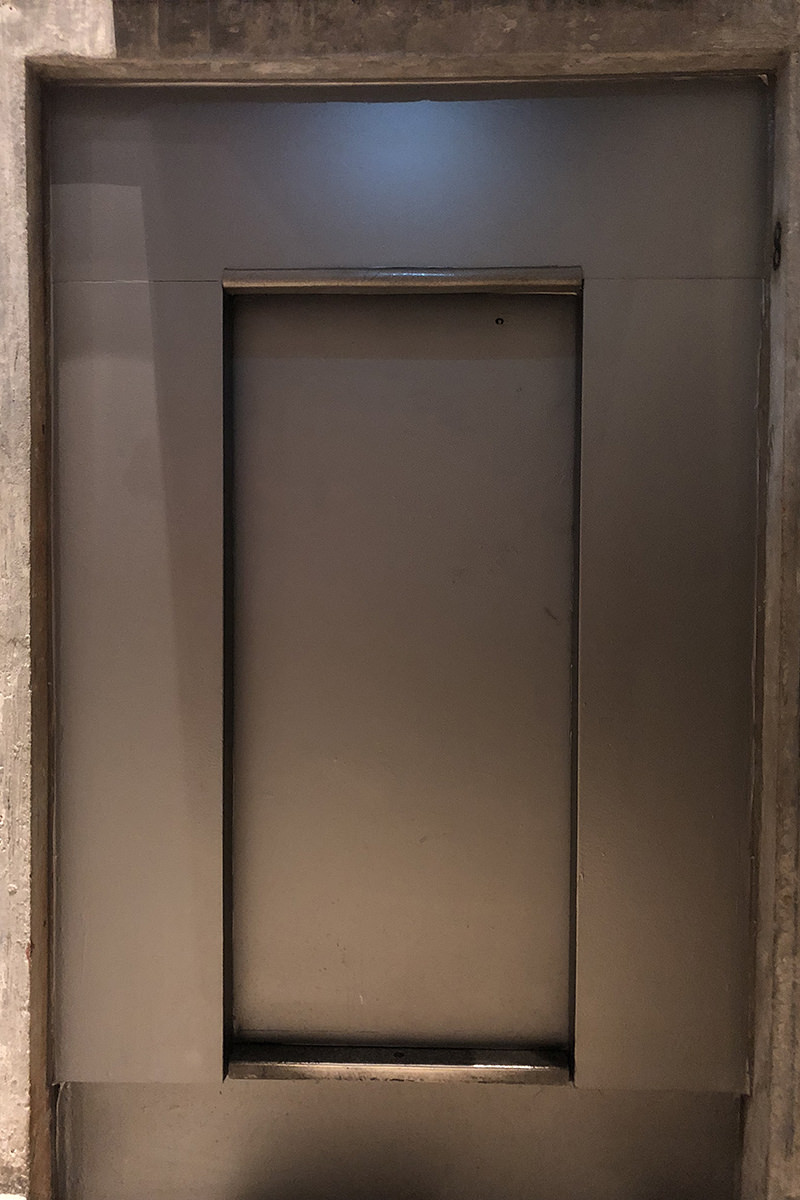
While they are remodeling the Gateway Arch Visitor Center, the Old Courthouse is the temporary ticket office. While you're there, you can get a close look at how the tram cars are constructed...
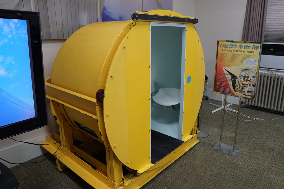
The system that transports the cars is pretty ingenious. The track starts out above the cars at the bottom... then transition to below the cars as you head up the legs. Eight cars are all chained together so that they can increase the number of people transported each go. The actual cars are suspended in an outer shell that allows the cars to rotate around as it travels, keeping the passengers upright.
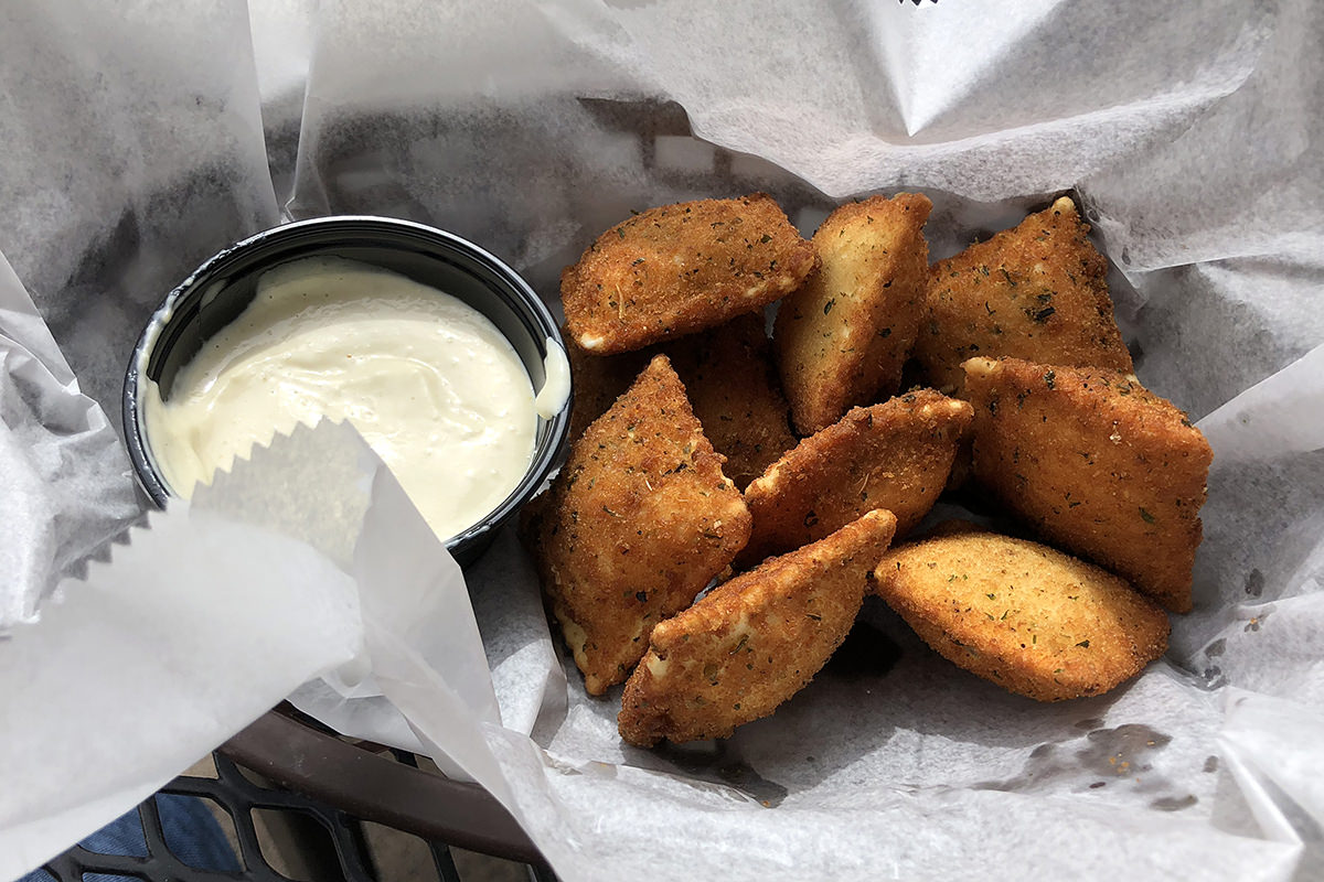
And, just like that, my trip to St. Louis had come to an end. Time to head back to the airport to meet up with long-time blogging friend Coal Miner's Granddaughter for a road-trip to Jefferson City. But before we go? Time for T-Rav (which is "Toasted Ravioli," a St. Louis specialty, for those not in the know)...
See you in Jef-City...
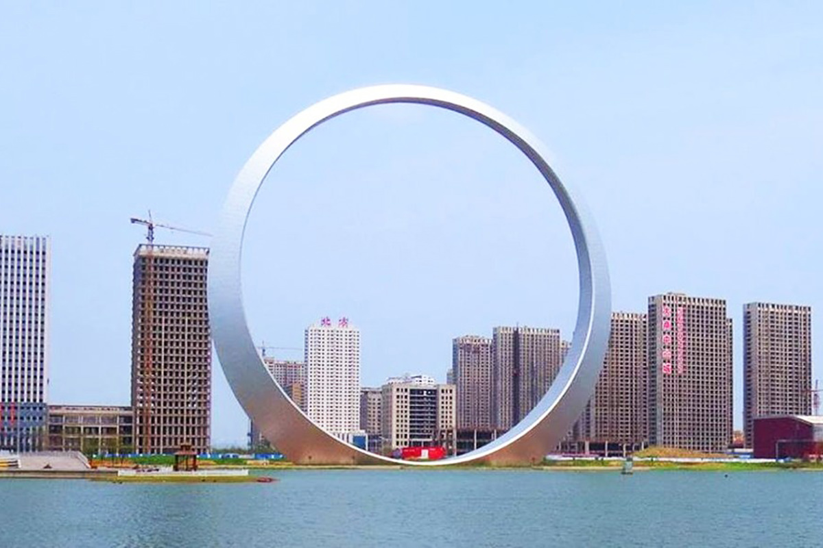
An interesting aside here... did you know that China built their own "Gateway Arch," but made it into a full loop? They call it the "Ring of Life" and it is pretty obvious where the original inspiration came from...
Pretty. But I'll take the original any day!
 Planning for a trip over the mountains to the airport is pretty simple. Pull out the Waze app so I can calculate travel time... add a half hour because Waze is always wrong by at least that... then add two hours to that, which should cover any delays and get me to the terminal with at least 90 minutes to spare.
Except...
Sometimes things get out of control before you even step out the door. This morning I decided to empty the trash can before I left, only to have Fake Jake come running in while I was navigating the door.
Needless to say, bedlam ensued. Much running around and hissing were to be had. Real Jake was enraged. Jenny, bless her heart, did not run and hide as I expected, but instead stood her ground. From a distance, of course.
Ten minutes later, I managed to corral Fake Jake with the promise of treats...
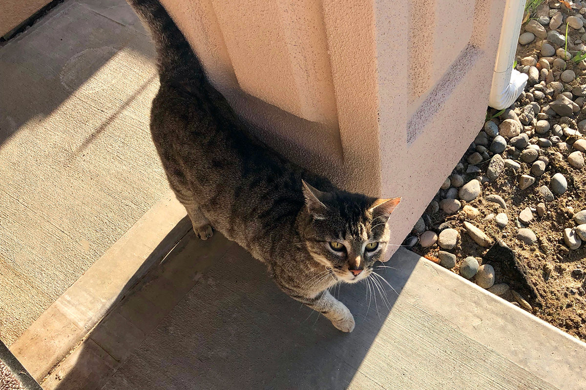
I then spent 20 minutes trying to calm my cats down so that I wouldn't be leaving them in a traumatized state. By the time I left... for the second time... they were back to normal as if nothing happened.
Lucky for me Seattle traffic was only horrendous instead of overwhelmingly fucking heinous, so I still managed to arrive with plenty of time to spare.
Annnnnnd...
Now I'm in St. Louis. A city I haven't visited in quite a while. Nearly ten years, in fact (boy, having a blog is handy for figuring out things like this!).
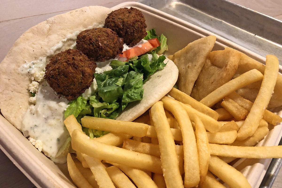
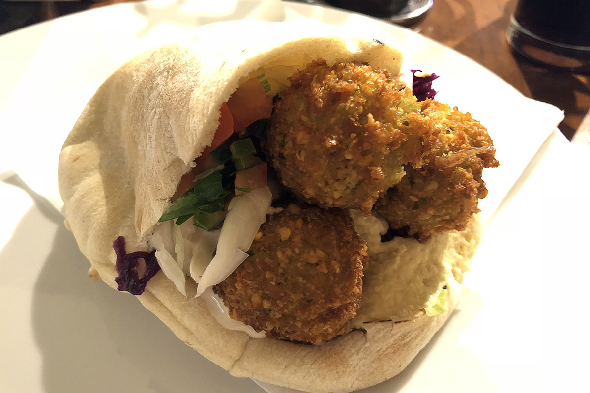
First order of business? Falafel...
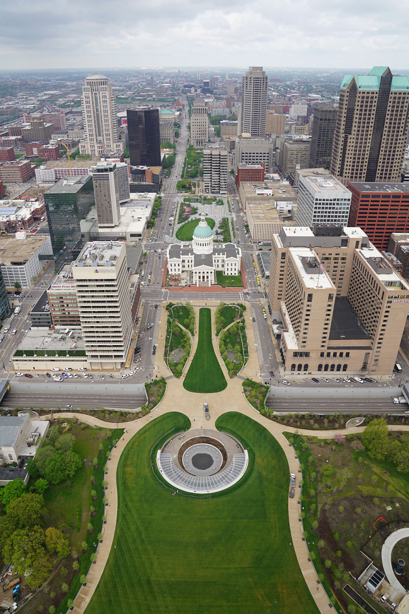
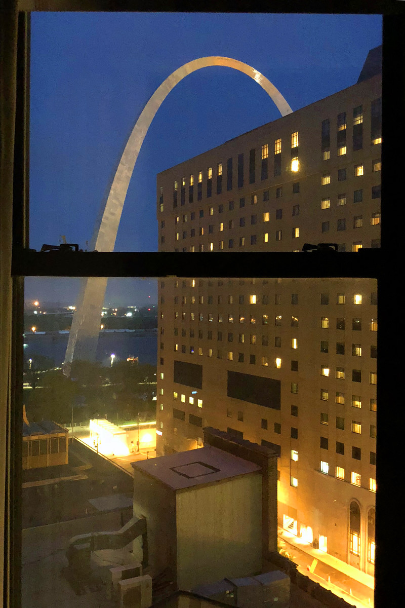
Before turning in for the night, I decided to walk across the street and marvel at The Gateway Arch...
Across the street from that is the Old St. Louis Courthouse, where the Dred Scott case was first presented 172 years ago... which is not so long ago, when you really think about it...
I didn't think that any rooms in my hotel had a view of The Arch. Turns out the rooms on the very corner do. And I'm in the penthouse suite, which means I've got the best view possible...
And that's all she wrote for my exciting day of travel. Good night y'all.
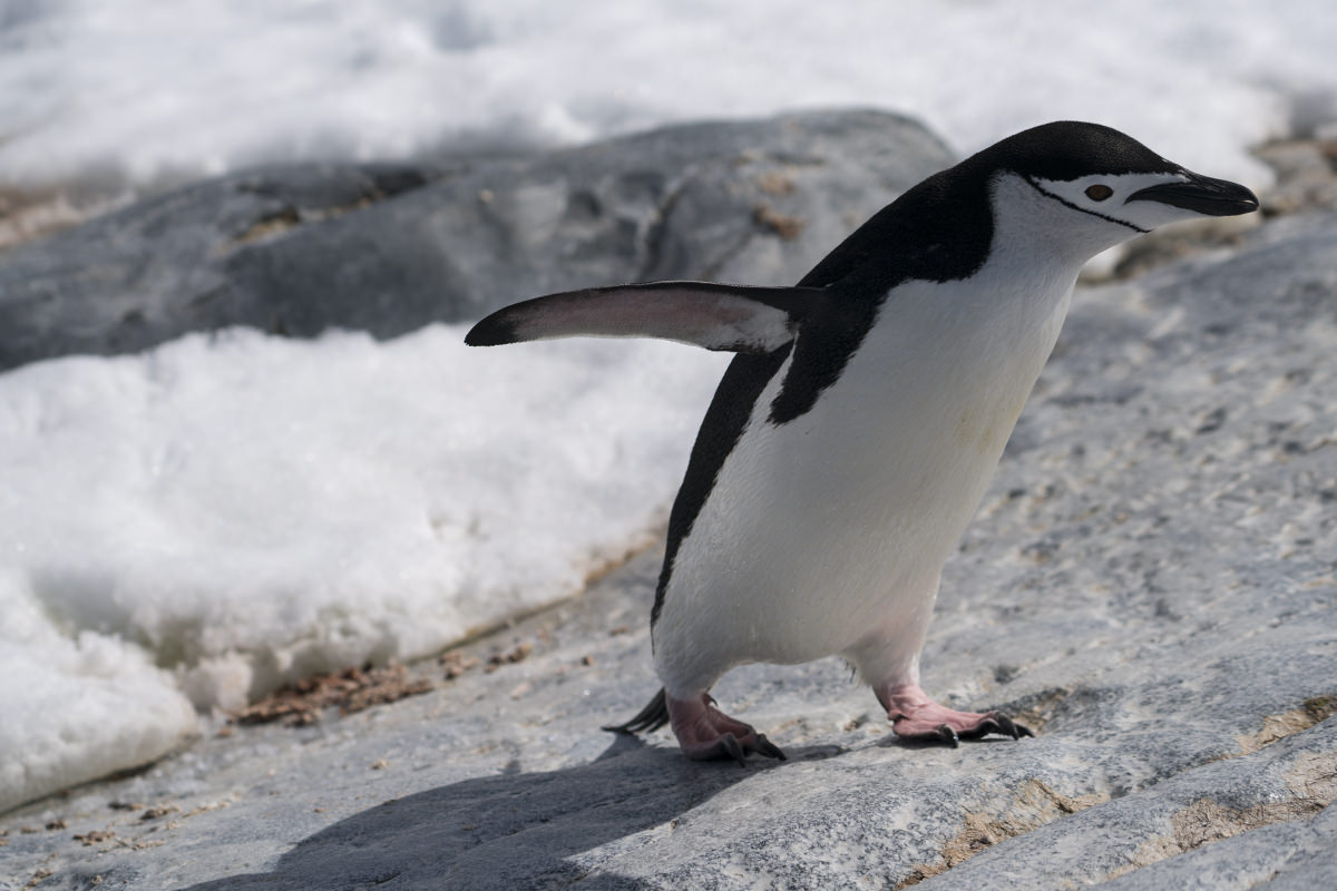
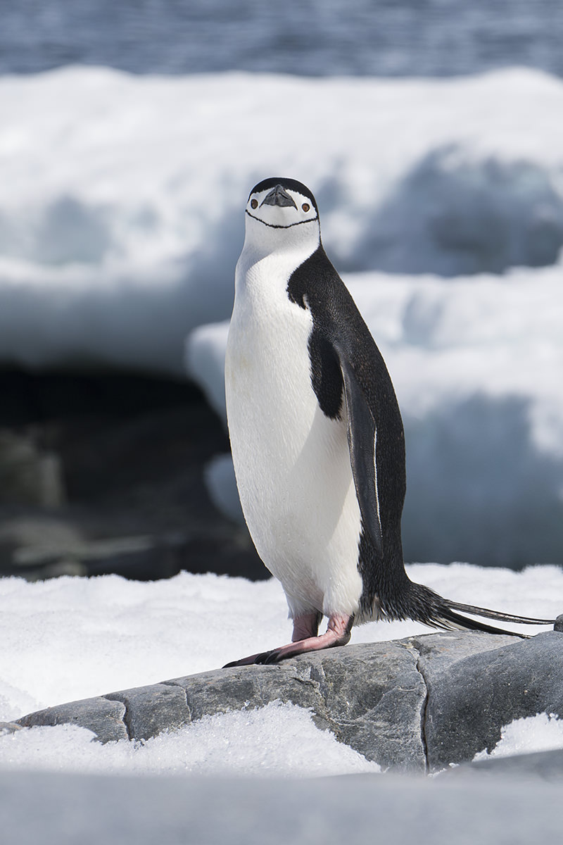
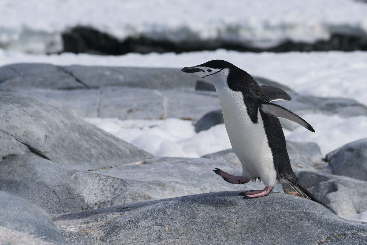
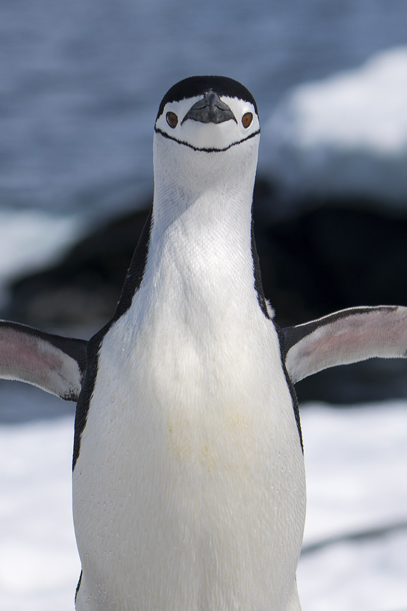
 It's World Penguin Day! A holiday I never even knew existed until they started appearing everywhere I went on the internet.
I'm rather fond of penguins, and am thrilled that I have been able to get up-close-and-personal with them on my recent trip to Antarctica. Certainly interesting enough creatures to deserve a day of their own...


Until next year...
There's always a special thrill reserved for those times I happen upon my favorite city on earth being featured somewhere.
Especially when it's in a way that's as cool and unique as this...
=sigh= And now I want to be back in Scotland.
 After a week of rushing around Europe trying to condense fourteen days into seven, I was looking forward to heading home where I could have a vacation from my vacation... by returning to work! After my first relaxing morning since I got here, the DutchBitch took me to the airport and off I went.
Well, kinda.
The flight was delayed because the PA system was down. Apparently the part they needed to fix it was not on-site, which meant we were 90 minutes late taking off. Ironically, the PA system went down again just before landing in Seattle, so apparently it wasn't as repaired as they thought it would be.
And speaking of things not being fixed...
The replacement part from IKEA for their defective wood staining never arrived, and all attempts to get a tracking number failed. Their promise of "7 to 10 days" for delivery has now ballooned to 23 days, with no end in sight. I'm sick-and-tired of having half-finished IKEA sitting on my kitchen table, so I decided to brave rush-hour traffic to pick up the damn thing in person. It was all I could do to contain my rage that I was having to add 30 to 40 minutes delay to my already-delayed drive home because IKEA customer service sucks, but what other option did I have?
I finally arrived at my driveway shortly after 9:00pm, which doesn't sound bad until you take into consideration that I had been up for nearly 20 hours straight.
Perhaps one of these years I'll finally figure out how to sleep on a plane, but that was not today.
UPDATE: And of course IKEA finally sends me the damn part... one day after I already went and picked it up...

How very typical.
Oh well. I managed to get my shelving customized and assembled this morning, so at least I won't have it mucking up my weekend like I would have if I had waited.
When I had to lop a week off my vacation, Budapest dropped from four nights to two, Vienna dropped from three nights to one. This is a tragically short amount of time in either city when you haven't visited before, but I tried my best to see as much as I could in the time I had.
When it comes to Vienna, my primary goal was to see some art by Klimt, his works having a wonderful art-deco sensibility that I love.
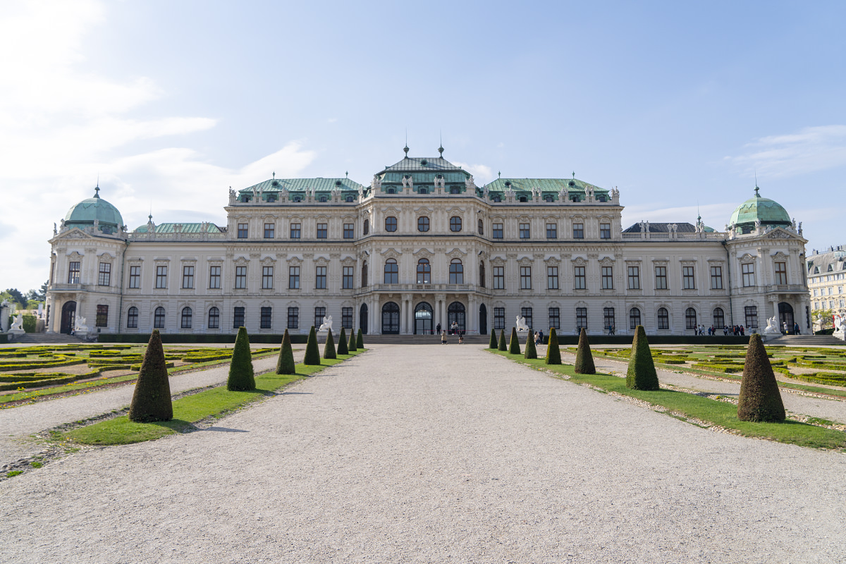
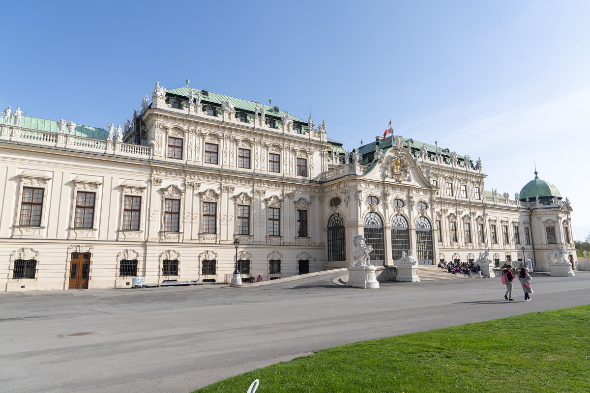
My first stop was to be at the gates of the Belvedere Palace Museum, home to Klimt's most famous work... The Kiss, when they opened for the day. That way I could rush to the Klimt works before people (ugh!) got in the way. As a bonus, the weather was much nicer this time around...
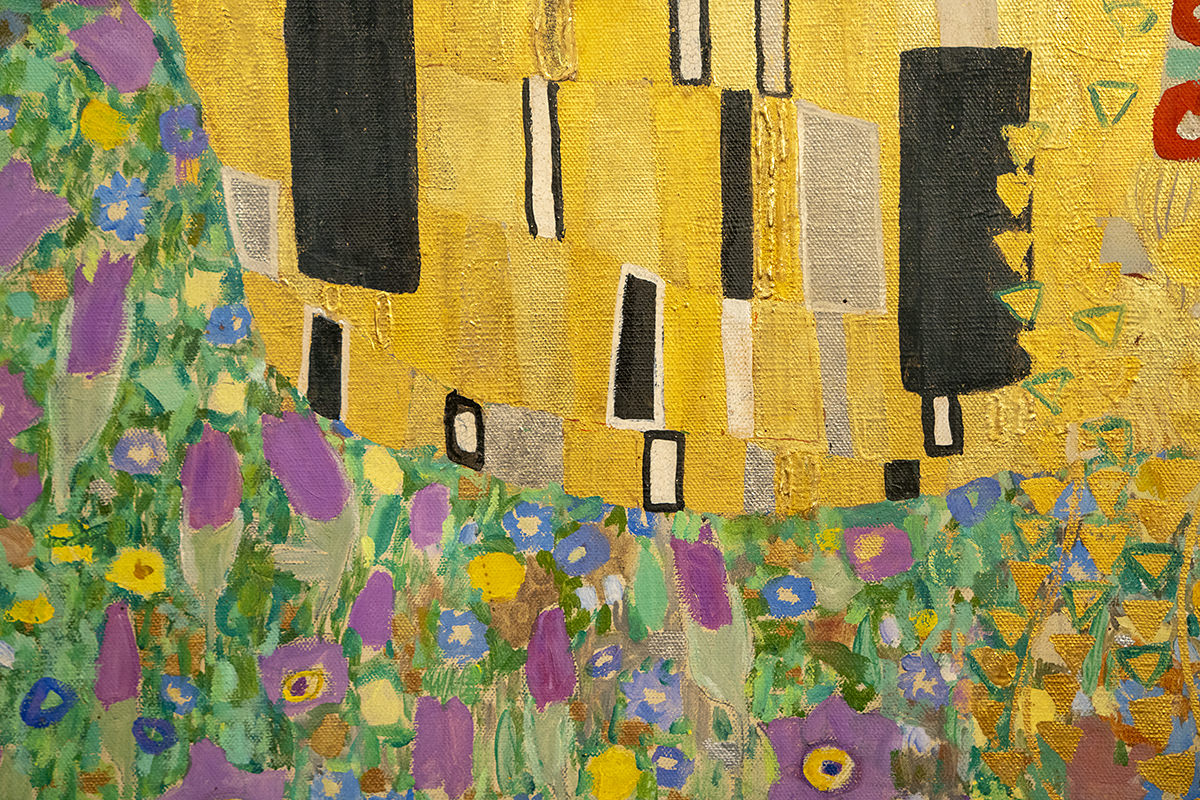
The Kiss is absolutely stunning in person. It's about 6-foot square, and has a luminescence you're never going to capture in a photo, but here we go anyway...
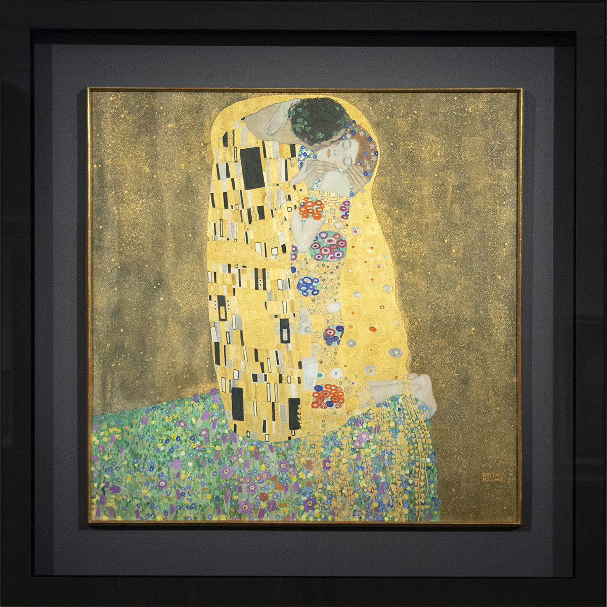
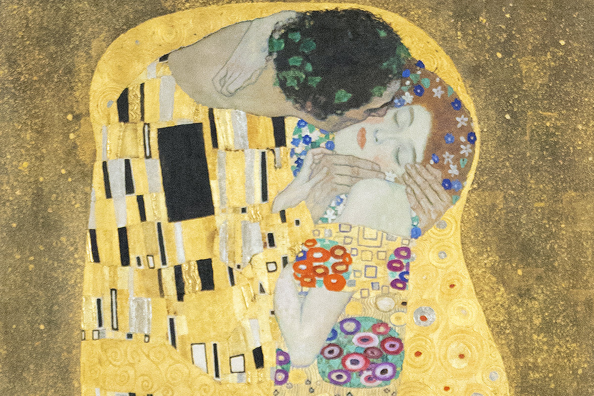
When you get really close, the texture and construction packed into the piece is mesmerizing...
There are more Klimts, but they all kind of pale in comparison...
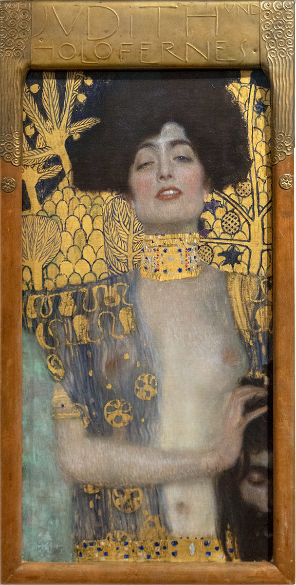
The museum houses other wonderful works as well, and it sure was nice to see them without people (ugh!) mucking about. Well worth arriving early...
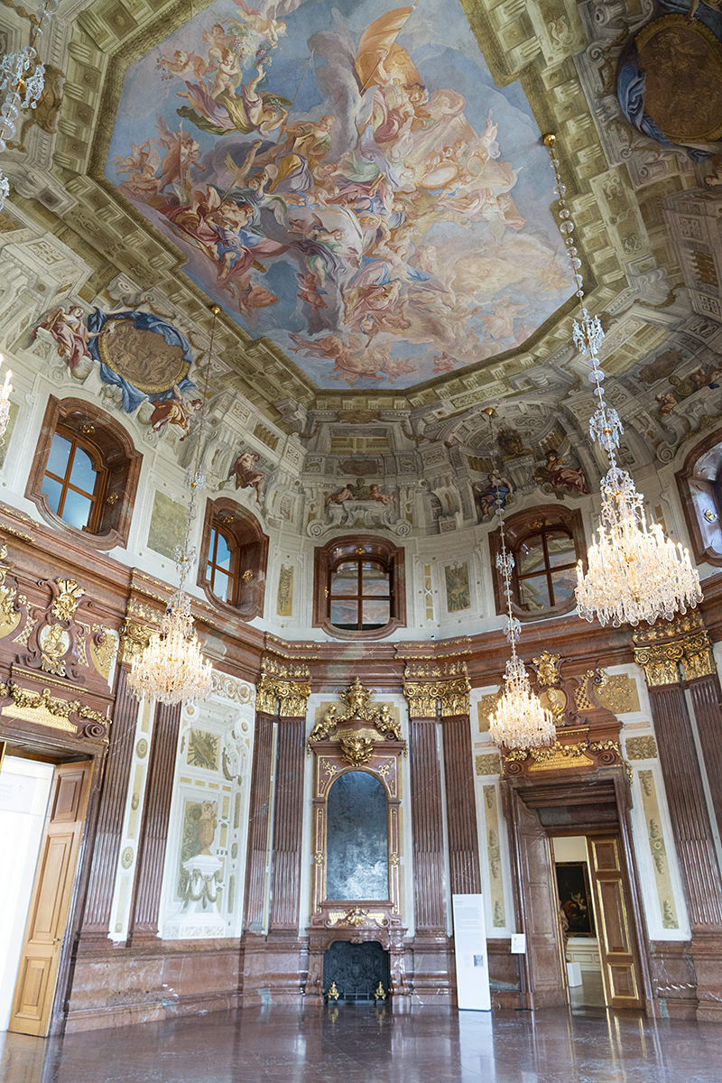
The palace itself is magnificent. And turning it into a museum is a far better use than an endless parade of sitting rooms...
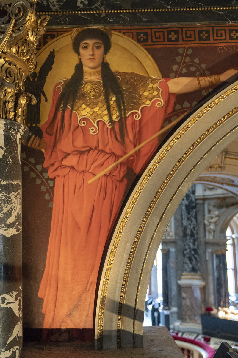
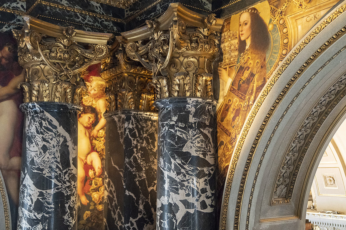
After exploring the Belvedere, I took a tram to the other site I really wanted to see before I left... the Kunsthistorisches Museum Vienna. To mark the 100th year since Klimt's death, they have constructed a massive "Stairway to Klimt" which spans the main atrium and allows you to see his paintings there at eye-level. It's pretty incredible...
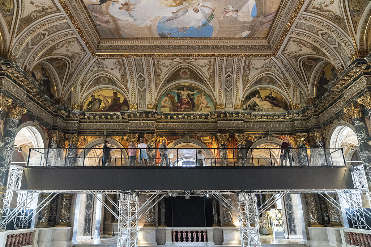
The opportunity to see these works in this way is akin to magic...
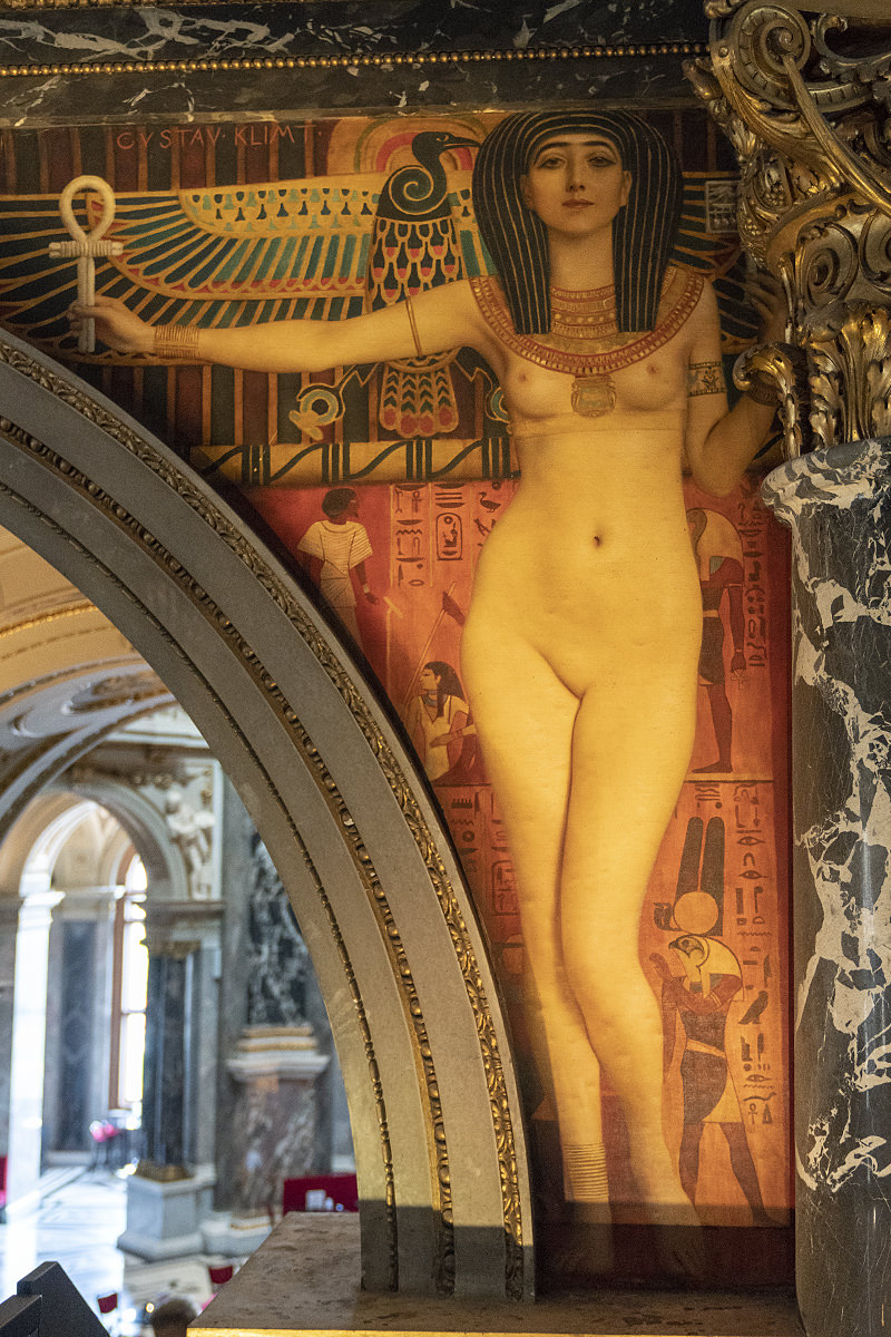
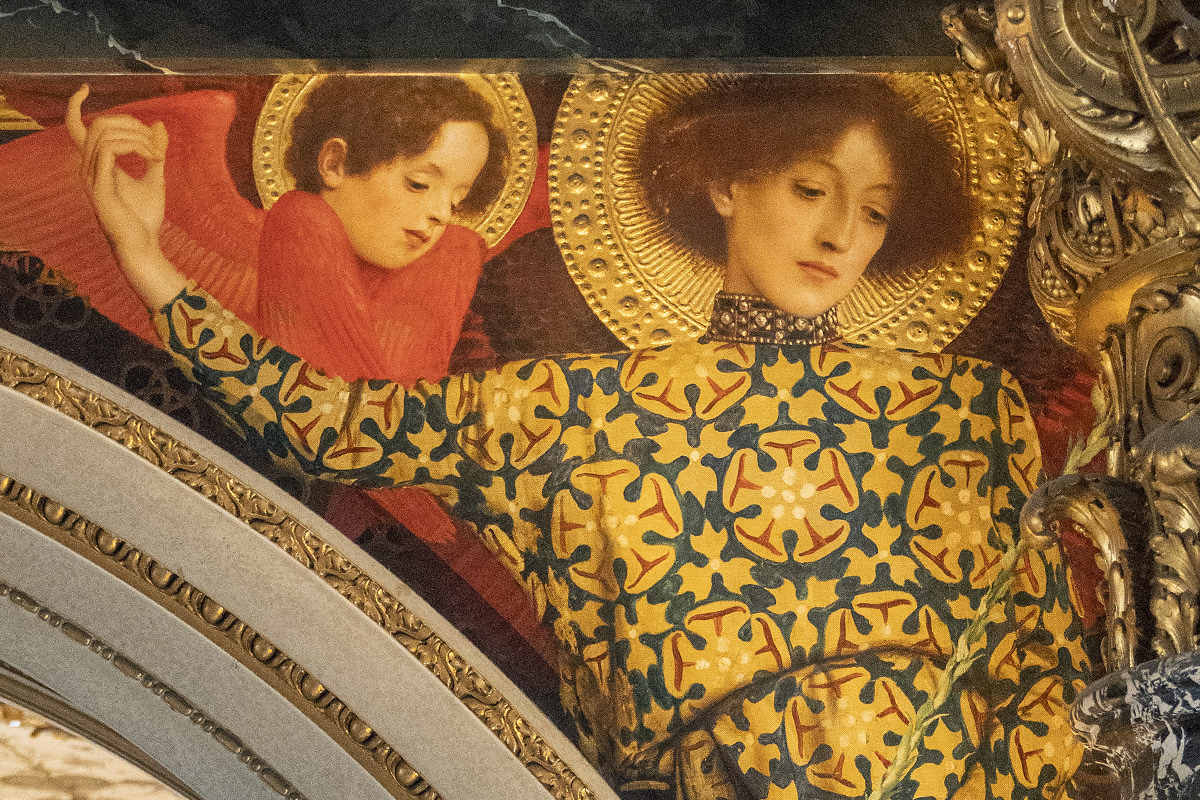
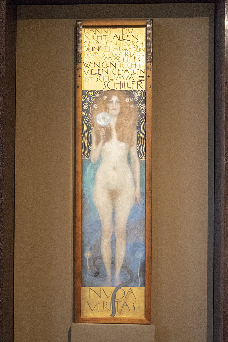
As if that weren't enough, Nuda Veritas from a private collection is on loan while "Stairway to Klimt" is running...
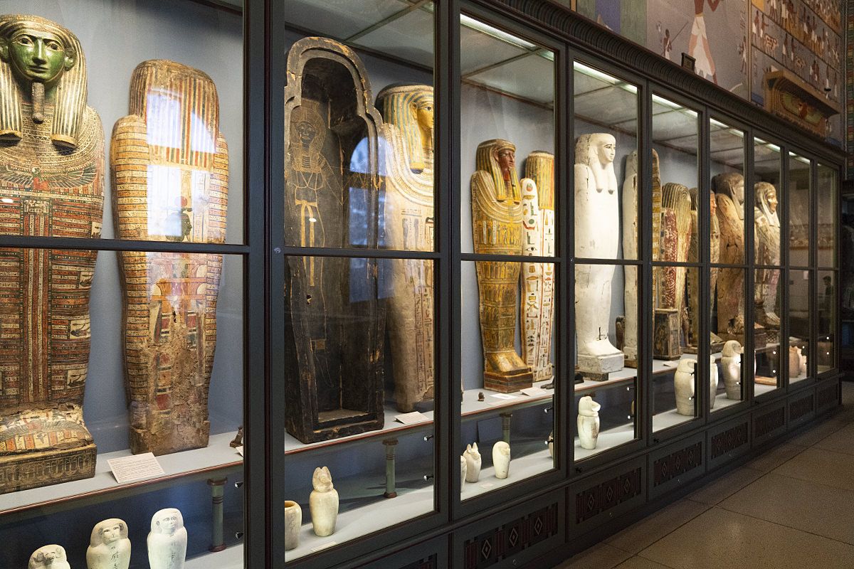
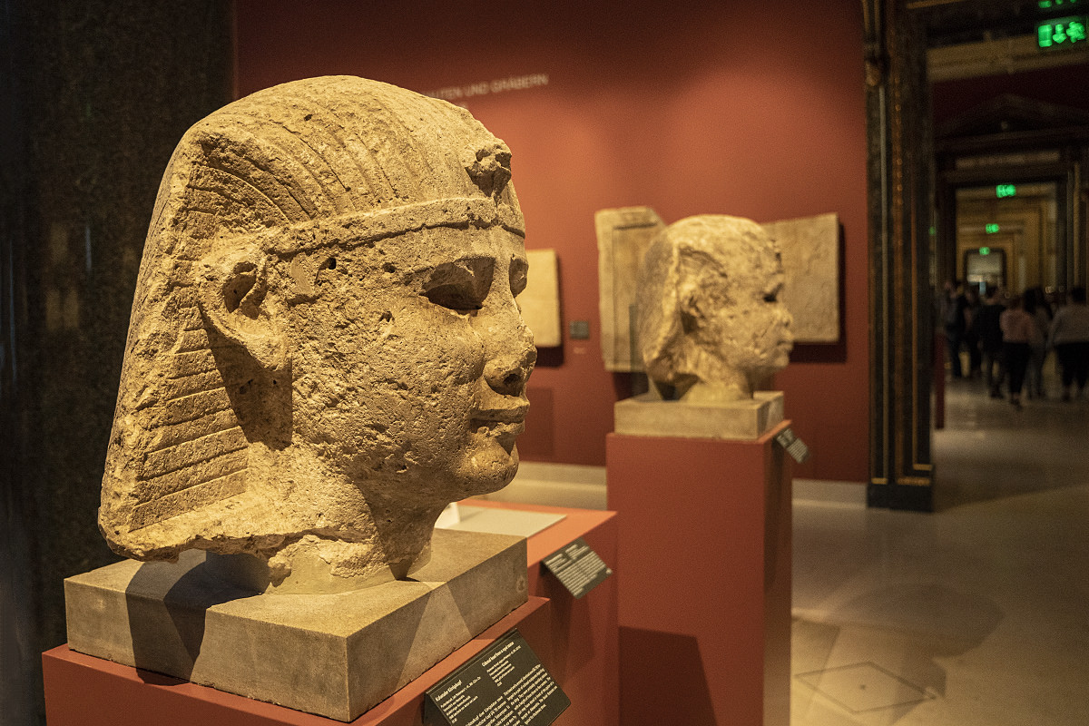
The museum has a lot of different works, but I didn't have much time to spend with them... instead breezing through most everything. I did spend a little more time with their Egyptian artifacts though...
As I was headed back to my hotel so I could pack up and catch my flight, the weather was really getting nice. Such a shame I couldn't stay and enjoy it...
And, just like that, my time in Vienna was over.
One subway stop and a 16-minute "City Airport Train" ride later and I was winging my way back to DutchyLand.
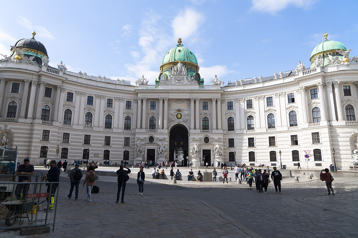
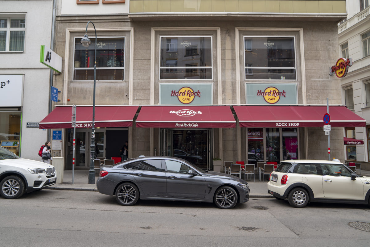
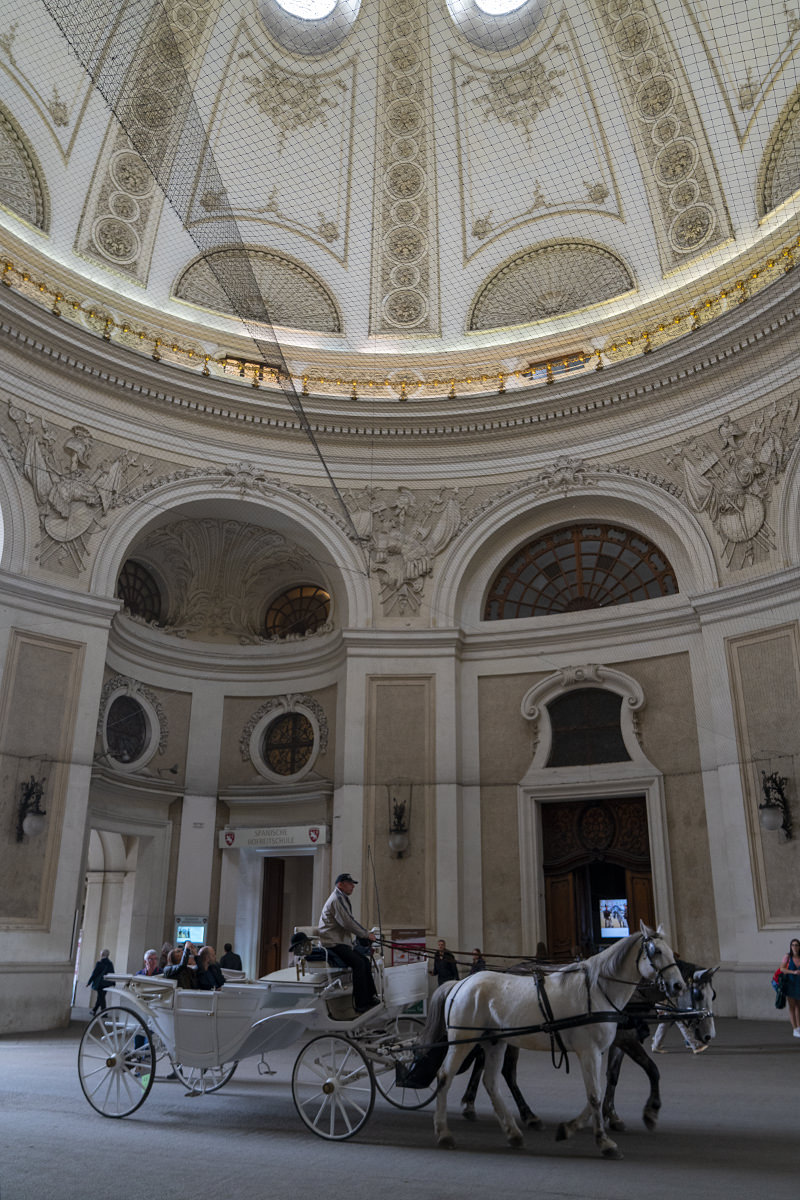
 Vienna is a city with historical significance that I have long wanted to visit. When it got a Hard Rock Cafe 2-1/2 years ago, I finally had the excuse I needed to plan a trip. That being said, Vienna is a hard sell if you don't like classical music and horses, as they seem to be the life-blood of the city. Neither of those things interest me, so I tended to focus on the architecture and art, both of which interest me very much.
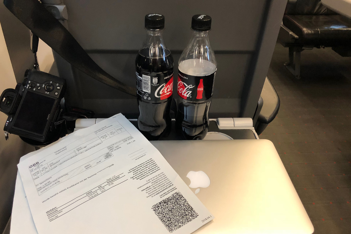
By train, Vienna is a swift 2-1/2 hours from Budapest. I always spring the small amount extra for a First Class ticket, which seems to result in less hassle during border crossings. I left at 7:30 in the morning and was surprised that there were only two other people in my coach...
As expected, the city is incredibly well-connected with public transportation, including a system of trams and subways that makes navigation a snap. Walking to my hotel, the first photo I snapped on this dreary Monday encapsulated Vienna pretty well...
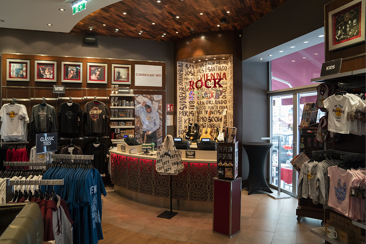
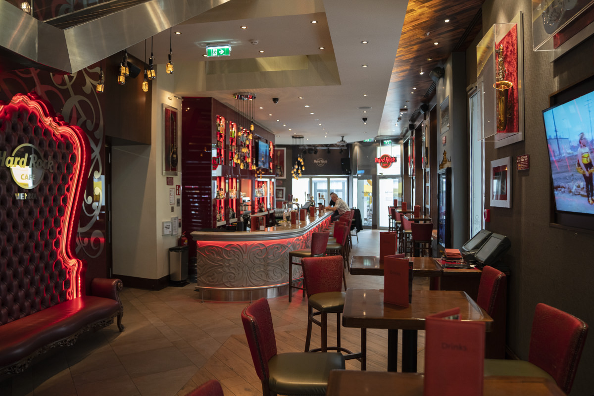
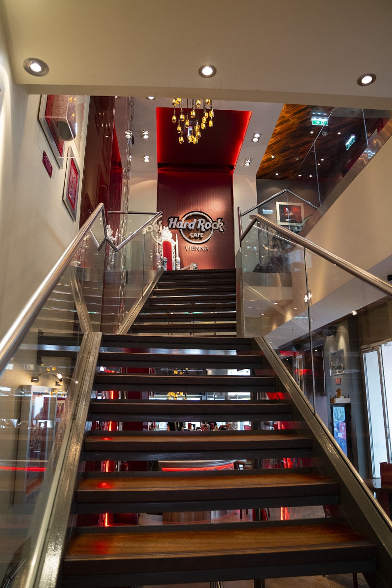
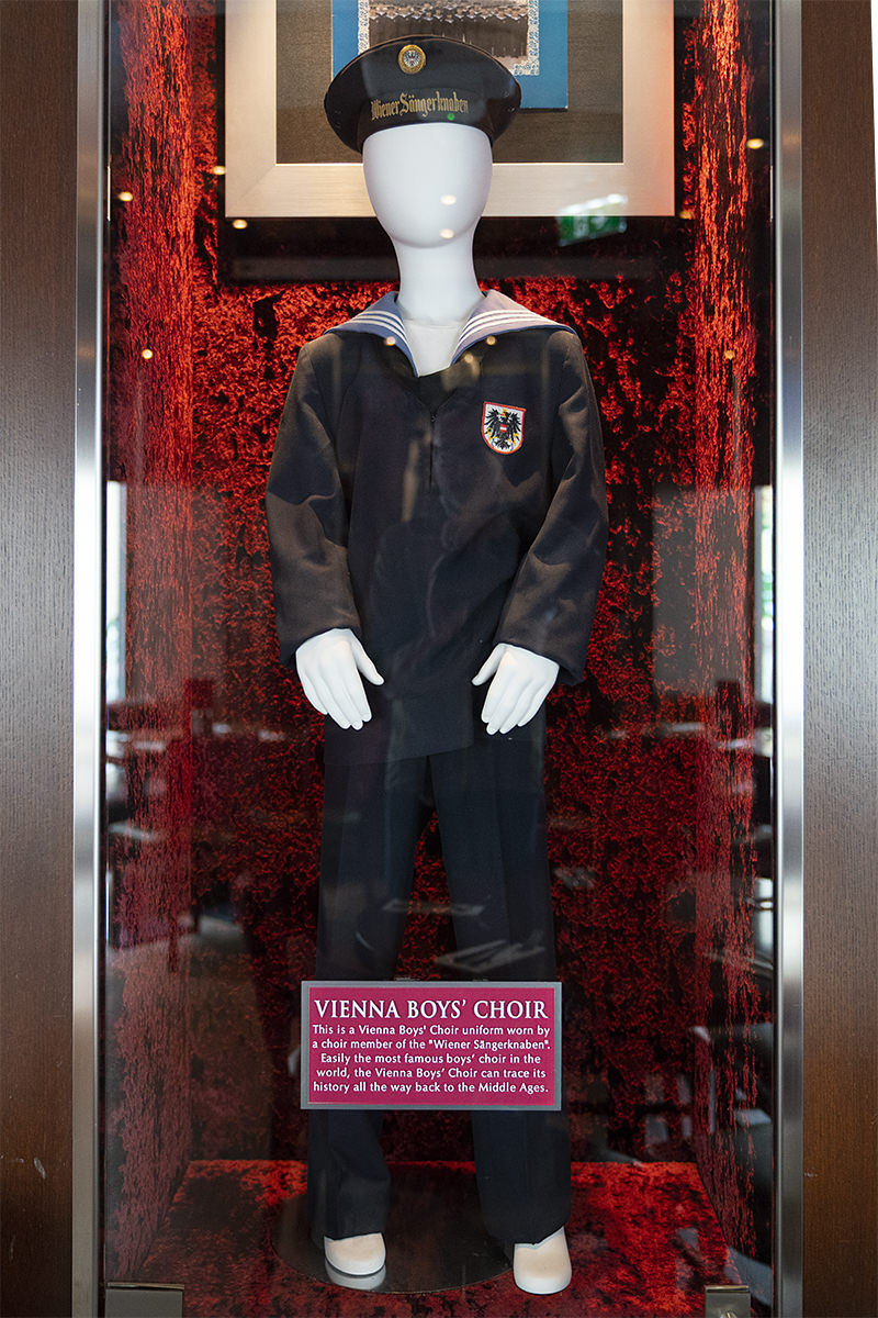
I hadn't eaten breakfast, so my first stop was the Hard Rock for a quick bite. It's nice, but one of the fairly boring new "hipster chic" properties I'm not a fan of...
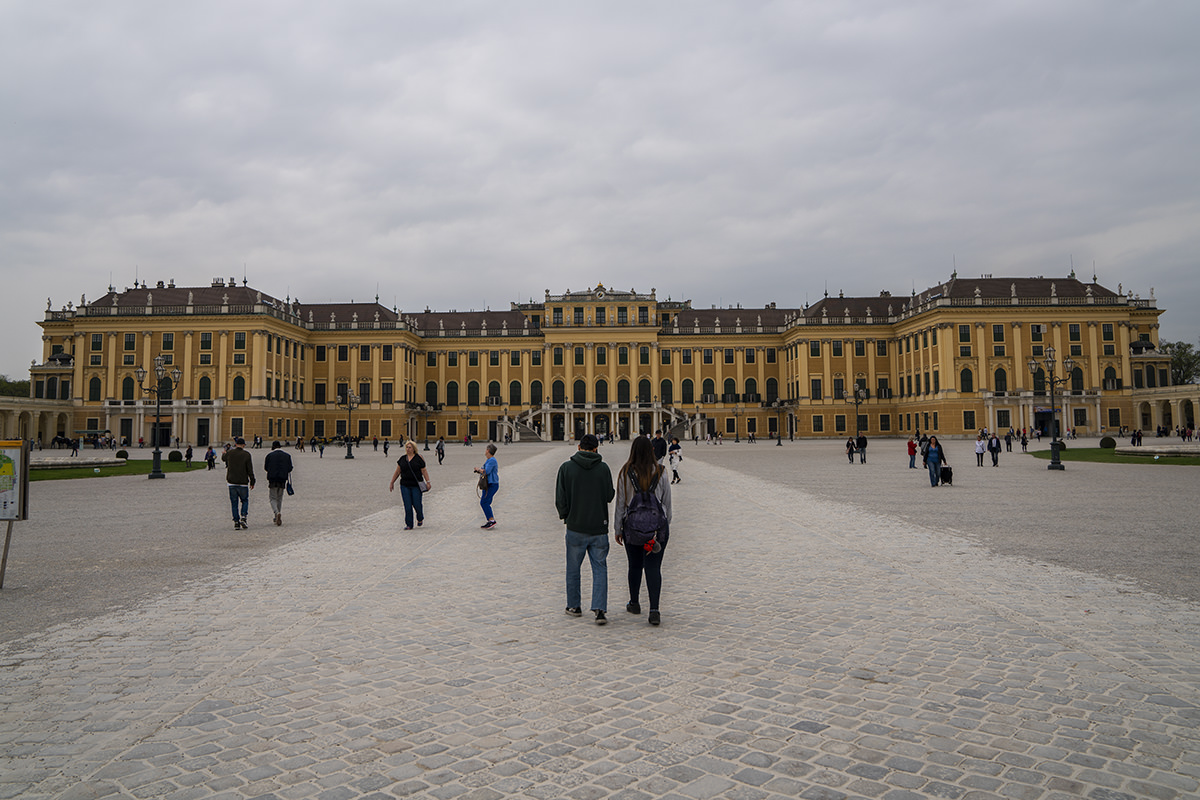
My first stop after lunch was to run out to Schönbrunn Palace. Don't ask me why. I always end up regretting it after visiting palaces, and this was no exception. It's all "Here's a sitting room. Here's a sitting room. Here's a sitting room. Here's a sitting room. Here's a bedroom. Here's a sitting room." Which begs the question... exactly how many places did these people need to sit down? I didn't spend much time after I saw that Schönbrunn was just more of the same thing I've seen a dozen times before...
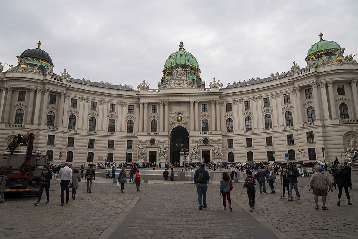
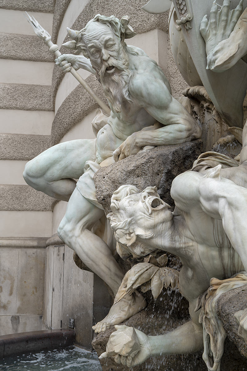
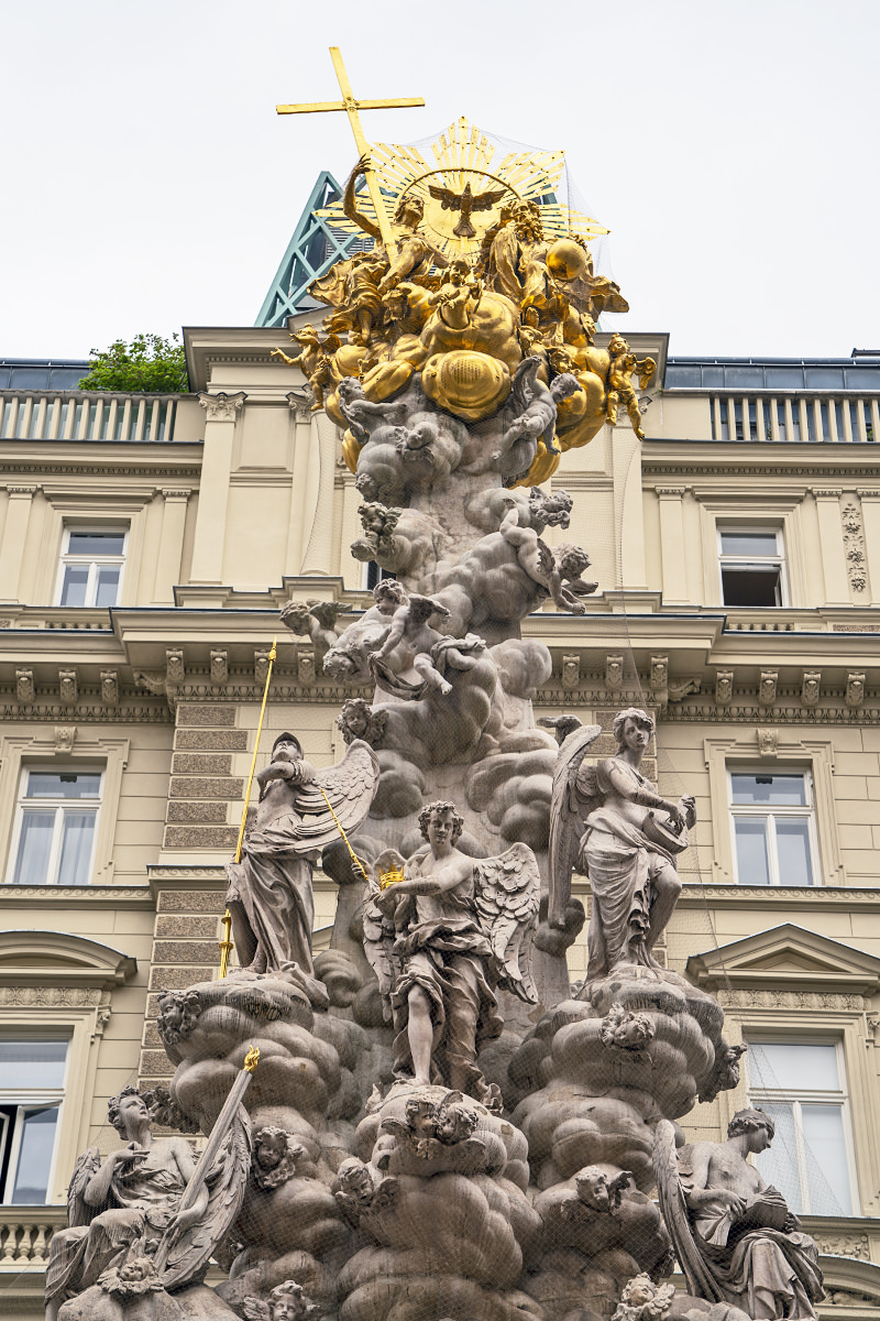
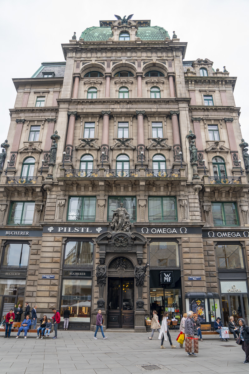
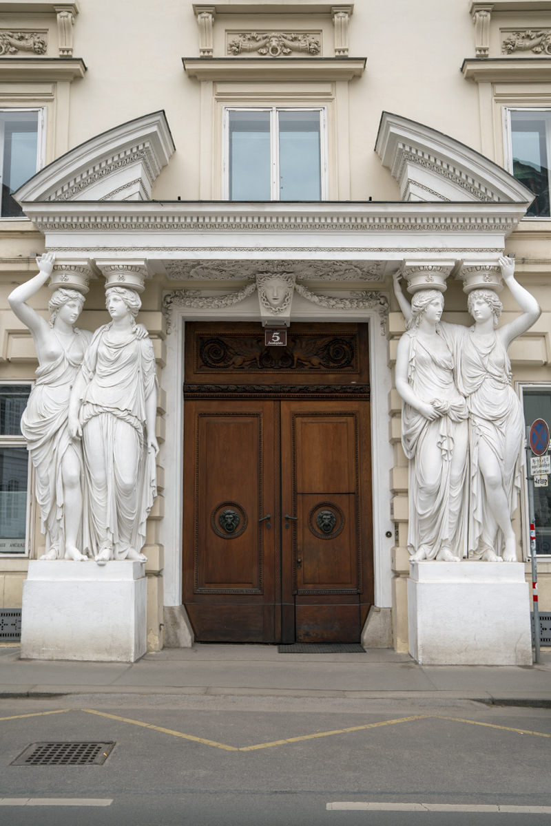
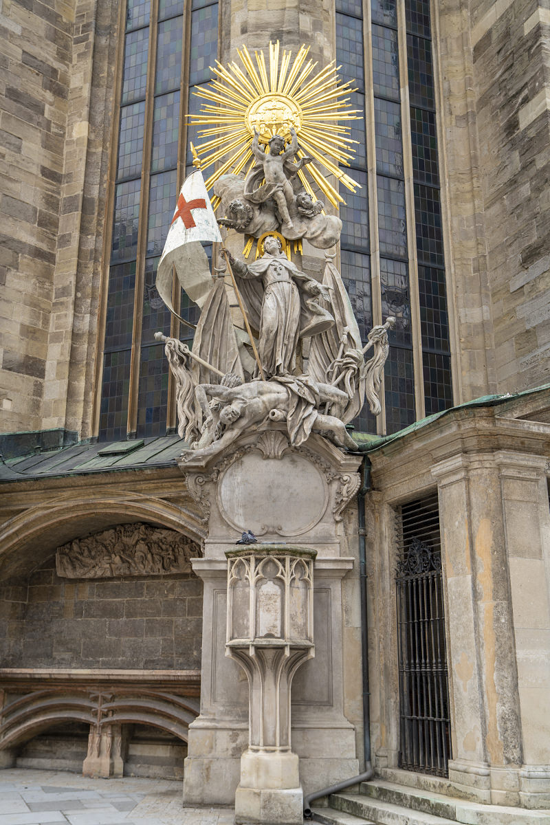
Back in the city proper, I decided to wander around and look at architecture, which could keep me occupied for days. There's just so much to see...

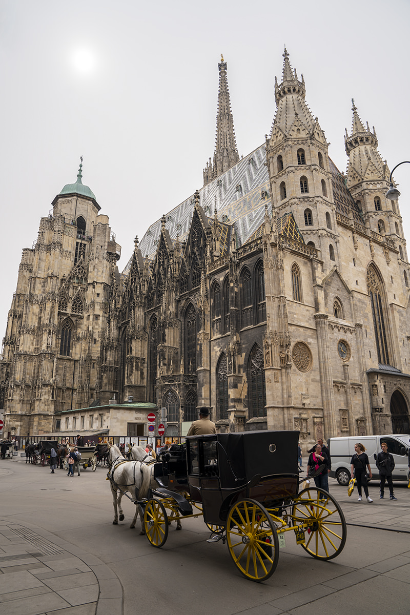
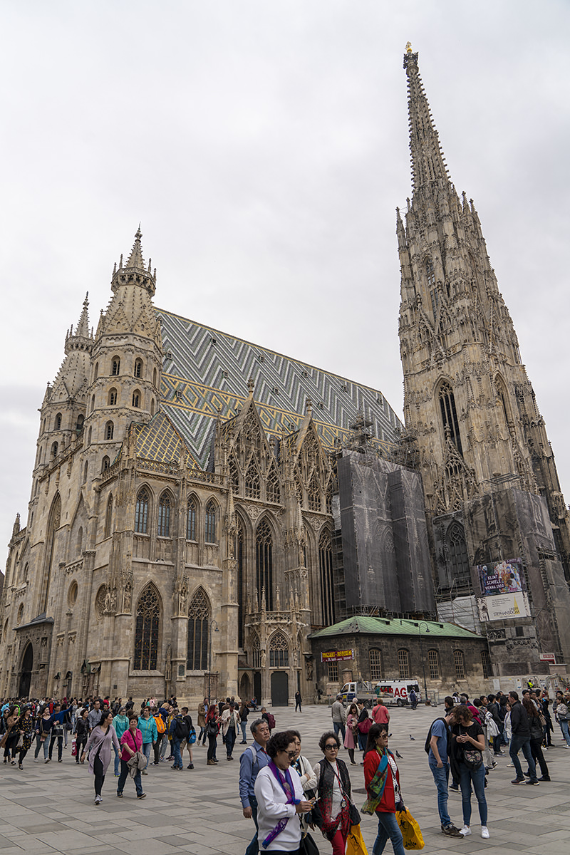
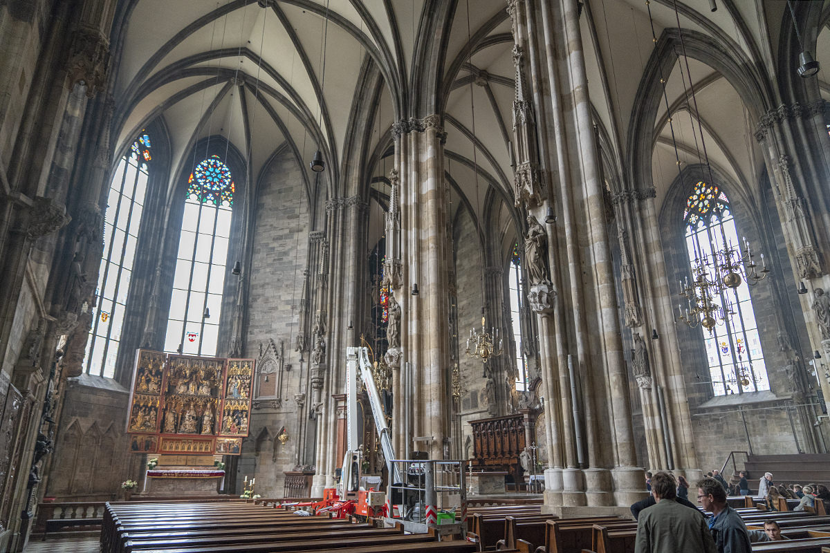
There is, of course, a cathedral. It's pretty much par-for-the-course when it comes to gothic European cathedrals...
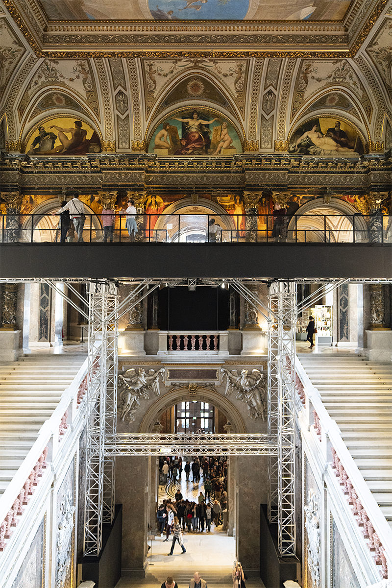
My final stop for the day was the Albertina Museum, where I knew there was a "Monet to Picasso" exhibit that was definitely worth my valuable time to visit. What I didn't know was that there was also a new Keith Haring exhibit, which was just icing on the cake...
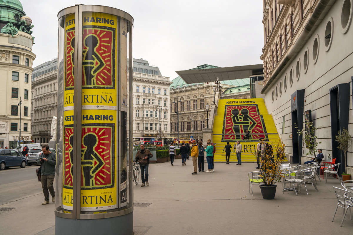
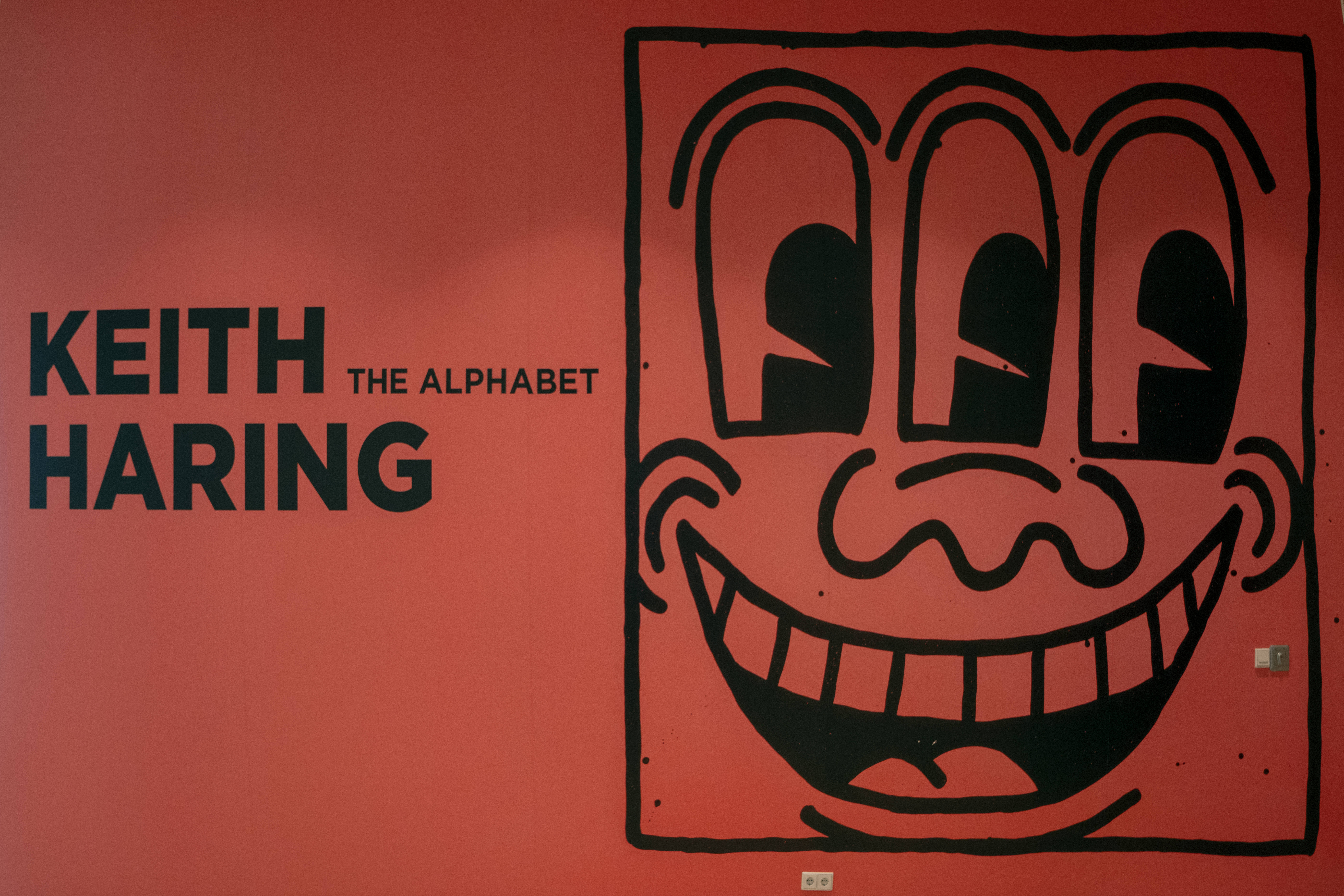
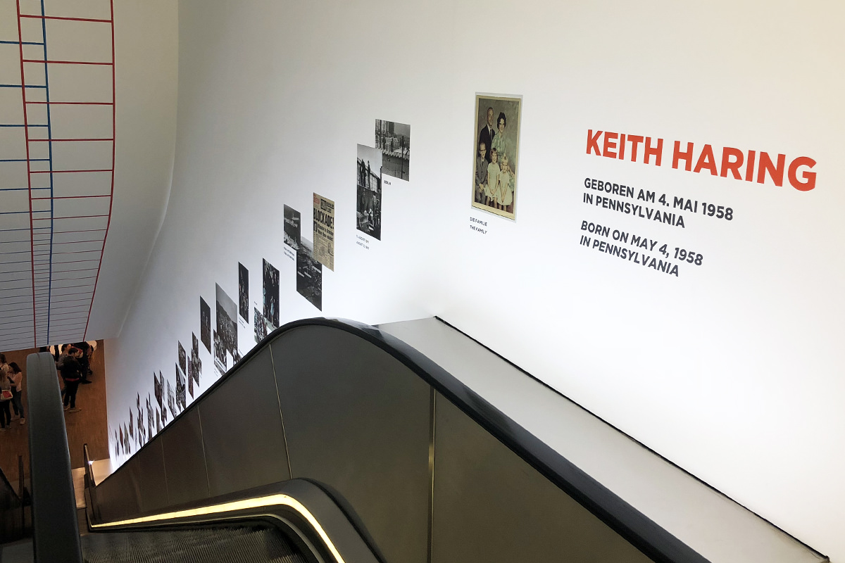
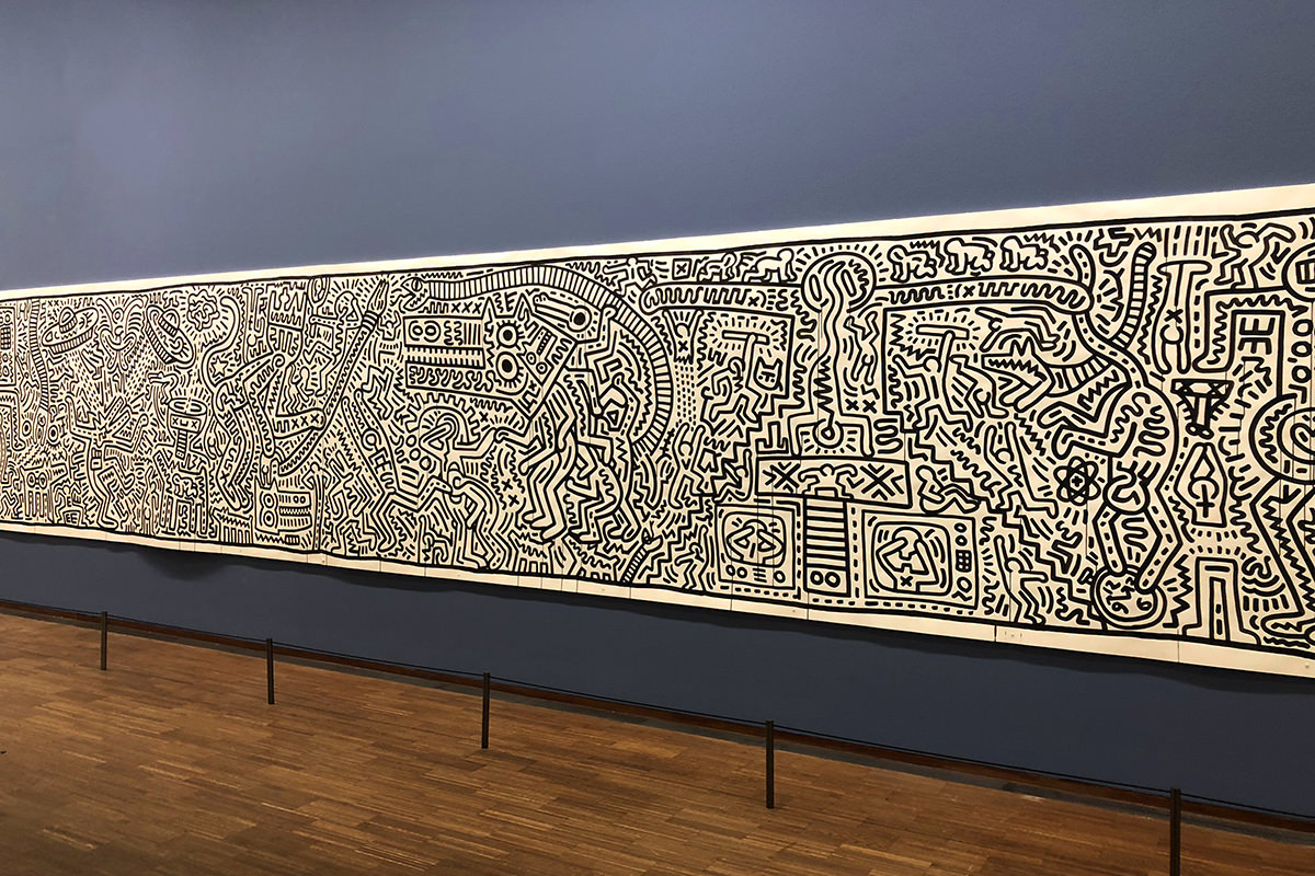
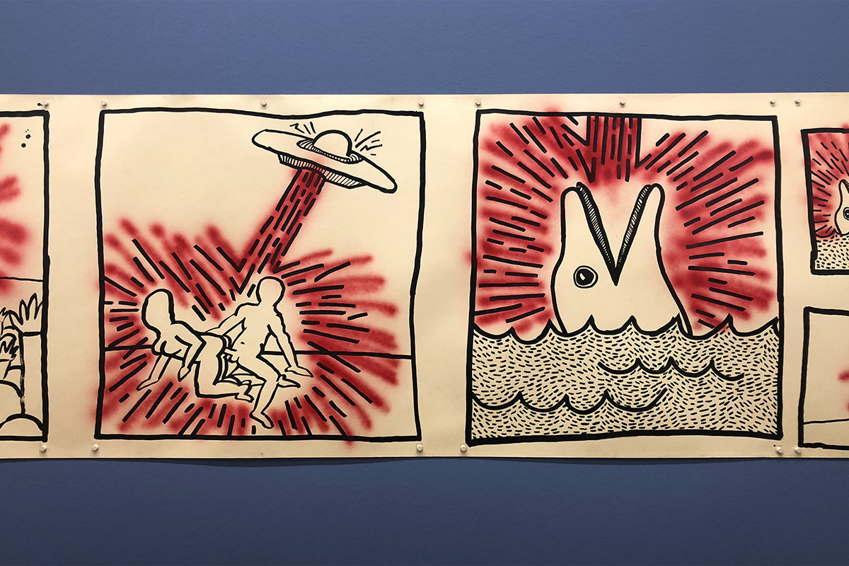
Phenomenal exhibit. Fantastic museum.
After spending way too much time looking at art, everything was starting to close, so I decided to track down a falafel shop for dinner...
And now? Time for sleep. I have two very important stops to make tomorrow before flying back to the Netherlands, and I want to be sure to be rested up.
And here we are at the end of my busy day in Budapest. Since I have to be at the train station by 7:30 in the morning, there ain't no more after this.
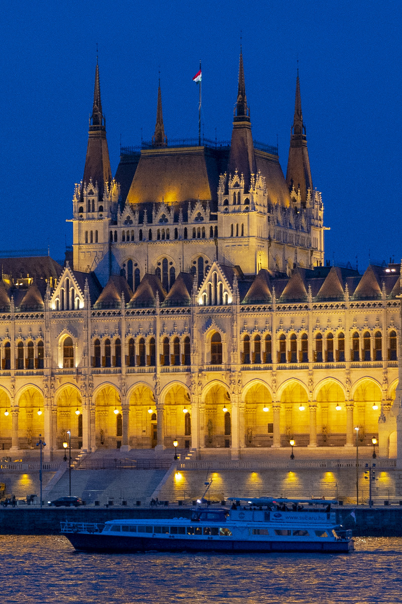
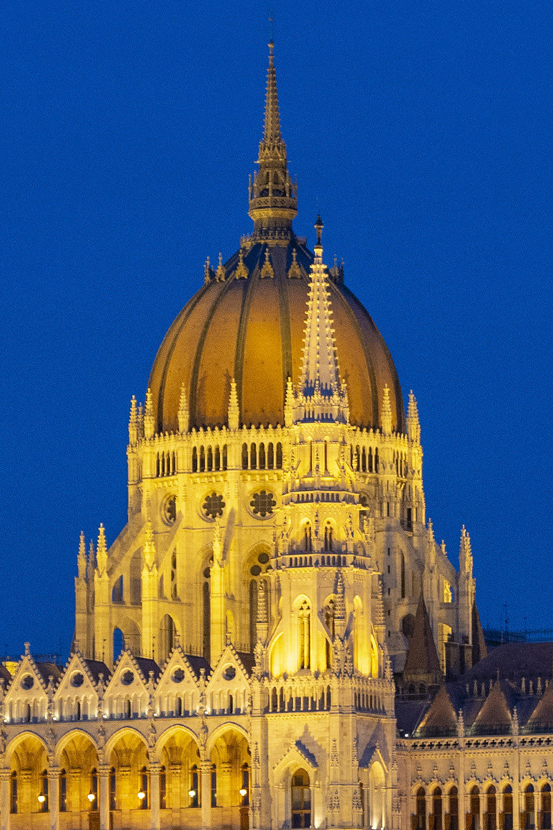
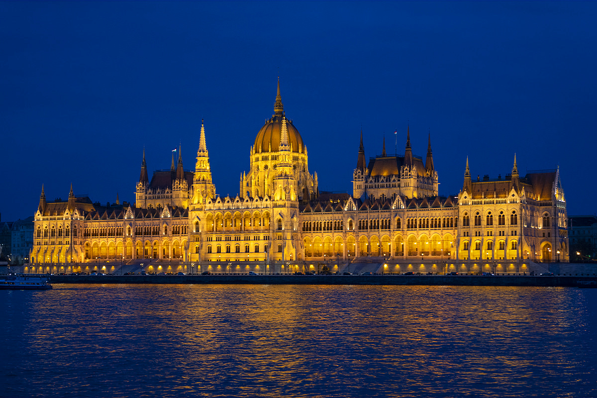
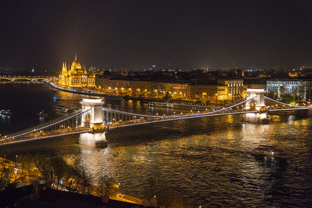
Odds are if you've ever been looking at photos of Budapest, you'll undoubtedly run across that classic shot of the Hungarian Parliament Building all lit up at night. The city is kinda famous for it, and I wanted a shot of my very own.
After sprinting across the Danube... or, to be more precise, under the Danube on the subway... I sat on the bank across from the building waiting for night to fall and the magic to happen.
The lights start off small at first. Just little glowing dots appearing across the exterior...
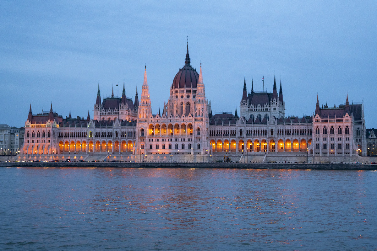
But before too long, the whole building is flooded in golden light. It is most certainly a pretty sight...
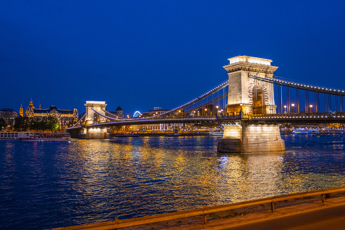
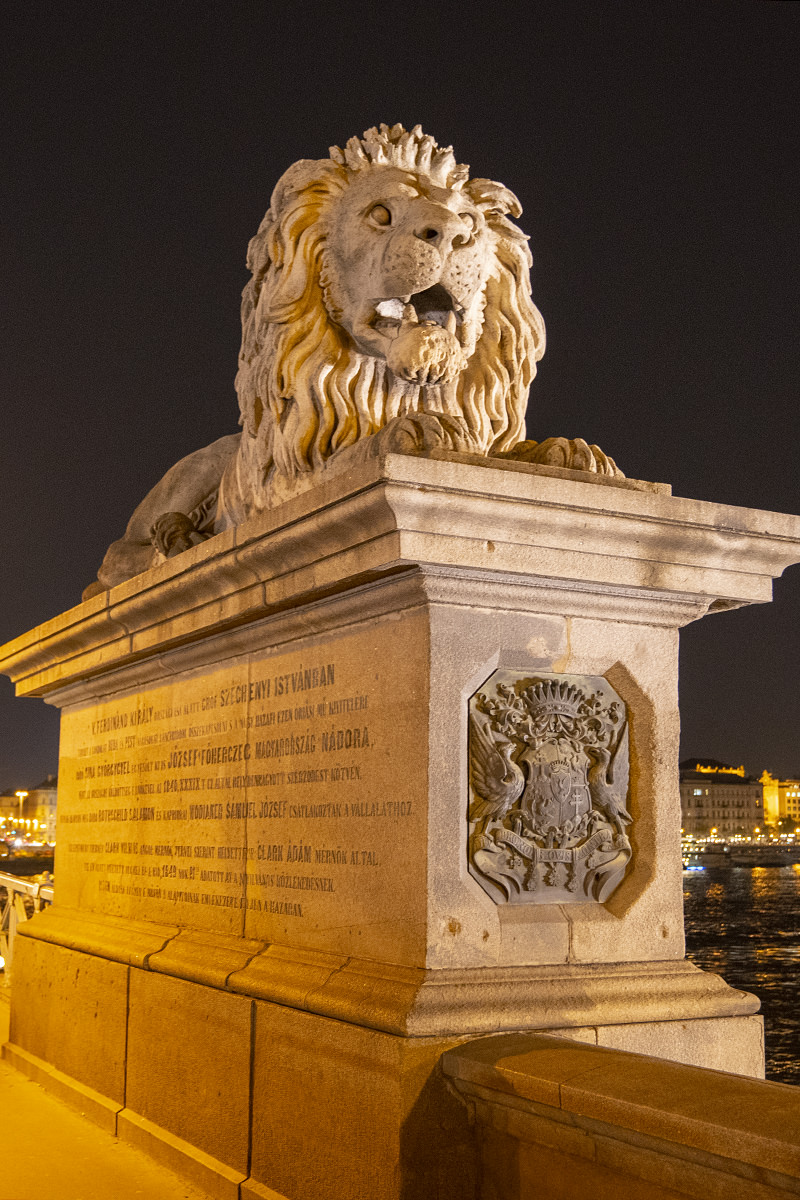
Continuing down the West bank of the river, I make my way back towards the Chain Bridge...
I had purchased an extra funicular ticket on my first ride up Castle Hill because I wanted to look down on the city with all the lights on...
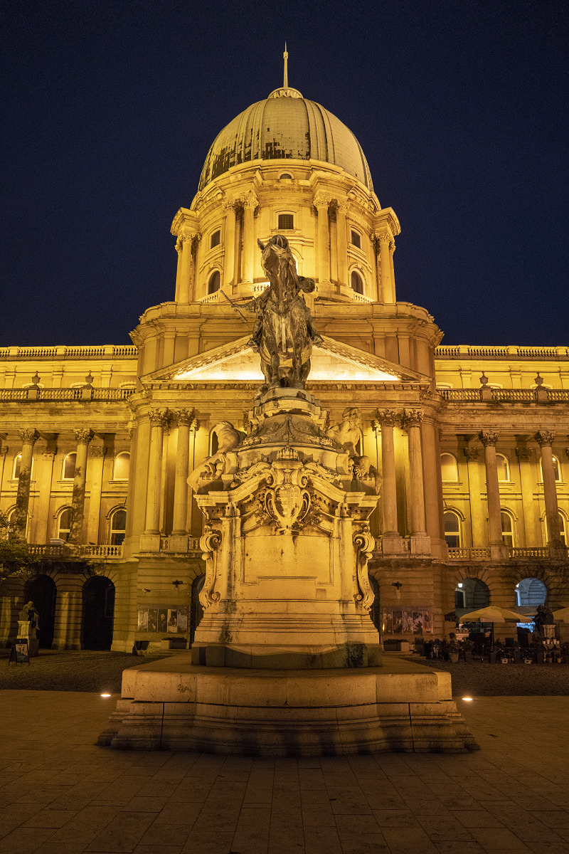
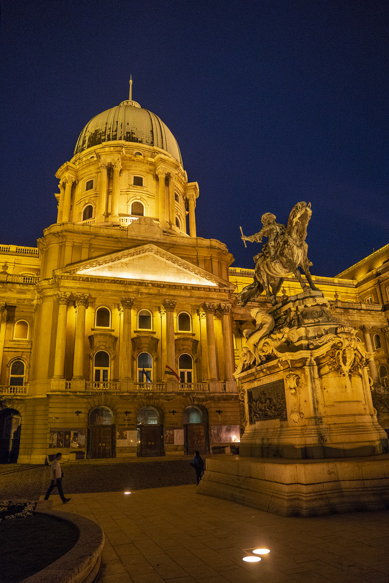
On my previous funicular rides, I didn't have very good angle to film the experience. This time I did, and here's what that looks like...
And that's all she wrote, folks. Time to head back across the river so I can get some sleep before heading out in the morning...
Until next time, Budapest...